Location: Bağcılar 🌎
Location: Bağcılar, Turkey
Administration Region: İstanbul
Population: 734369
ISO2 Code: İstanbul
ISO3 Code: TUR
Location Type:
Latitude: 41.0344
Longitude: 28.8564
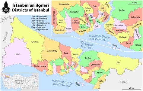
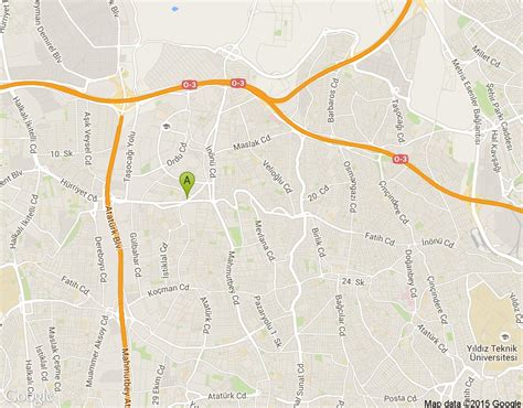
Bağcılar is a district located on the European side of Istanbul. The district is located near the city centre, just north of Bahçelievler, between the two major ring roads, TEM and D100 (formerly E5). The district is the fourth most populous in the Istanbul Municipality. Bağcılar developed rapidly between the 1970s and 1990s and is primarily residential in nature. Bağcılar has a population of 740,069 in 2022. The neighborhood is served by the Istanbul Metro and the T1 line of the Istanbul Tram. The mayor is Abdullah Özdemir from the Justice and Development Party.

Top Bağcılar HD Maps, Free Download 🗺️
Map
Maps
United States
United States
World Map
China
China


