Location: Bekasi 🌎
Location: Bekasi, Indonesia
Administration Region: Jawa Barat
Population: 2381053
ISO2 Code: Jawa Barat
ISO3 Code: IDN
Location Type:
Latitude: -6.2349
Longitude: 106.9923
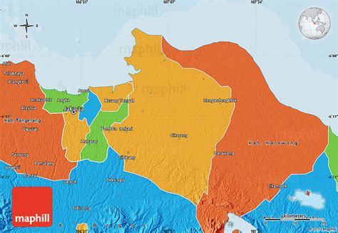
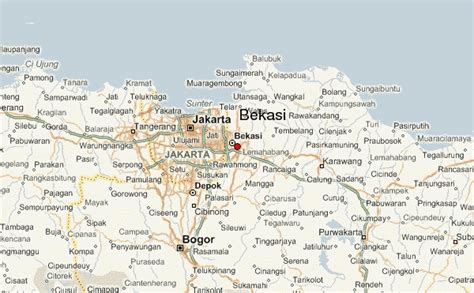
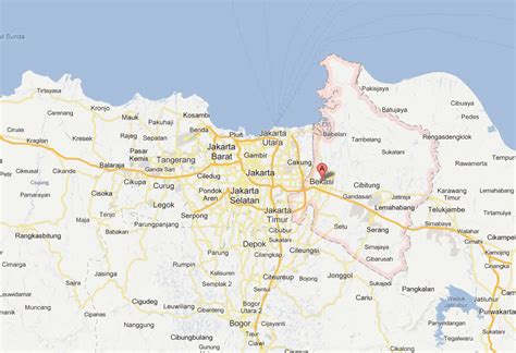
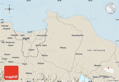
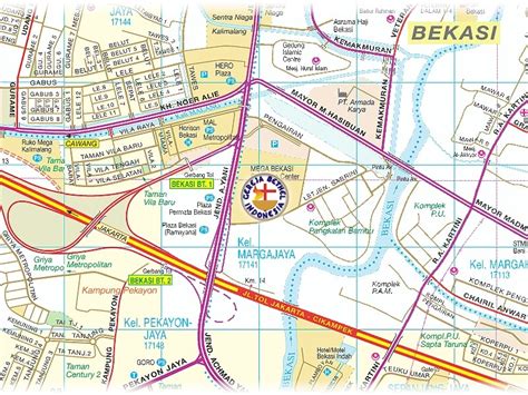
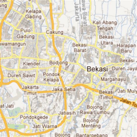
Bekasi (Indonesian pronunciation: [ˈbəkasi], Sundanese: ᮘᮨᮊᮞᮤ) is a city in West Java, Indonesia, located on the eastern border of Jakarta. It serves as a commuter city within the Jakarta metropolitan area. According to the 2020 Census by Statistics Indonesia (BPS), Bekasi had 2,543,676 inhabitants. The official estimate for mid 2022 was 2,590,257. It lies within the largest metropolitan area in Indonesia (Jabodetabek). The city is bordered by Bekasi Regency (from which the city was separated administratively on 16 December 1996) to the north and the east, Bogor Regency and Depok City to the south, and East Jakarta to the west.
Bekasi is one of the oldest cities in Indonesia, and has a history of being the capital city of the Kingdom of Tarumanagara. At that time, the name of Bekasi was Dayeuh Sundasembawa or Jayagiri. The earliest evidence of its existence dates from the fifth century according to the Tugu inscription, which describes the name of two rivers that run through the city, i.e. Candrabhaga and Gomati and one of those rivers, i.e. Candrabhaga is the origin of the name Bekasi where the name Candrabhaga evolved into Bhagasasi due to the Sanskrit word candra which means moon evolved into Old Sundanese word ‘sasi’ which also means moon and then the name Bhagasasi was misspelled as Bhagasi and then Dutch colonial government also misspelled the name Bhagasi as Bacassie and finally it became Bekasi. During the Dutch East Indies period, Bekasi was a part of Batavia residency. As a dormitory city, many middle class satellite areas have been developed in Bekasi, complete with their own shopping malls, schools, hospitals, club houses, water park, and shuttle bus services to central Jakarta. The large number of multinational companies has apparently attracted many expatriates (mainly Japanese and Korean) to settle in Bekasi.

Top Bekasi HD Maps, Free Download 🗺️
Map
Maps
United States
United States
World Map
China
China
