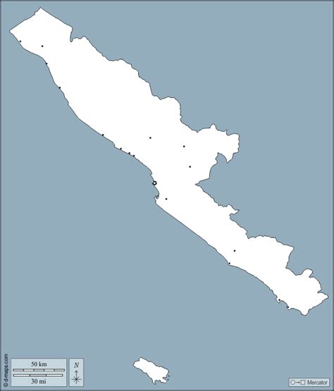
Bengkulu (Indonesian pronunciation: [bəŋˈkulu]) is a province of Indonesia. It is located on the southwest coast of Sumatra. It was formed on 18 November 1968 by separating out the area of the historic Bencoolen Residency from the province of South Sumatra under Law No. 9 of 1967 and was finalized by Government Regulation No. 20 of 1968. Spread over 20,130.21 km2, it is bordered by the provinces of West Sumatra to the north, Jambi to the northeast, Lampung to the southeast, and South Sumatra to the east, and by the Indian Ocean to the northwest, south, southwest, and west.
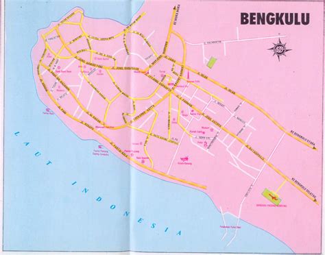
Bengkulu is the 25th largest province by area; it is divided into nine regencies and the city of Bengkulu, the capital and the only independent city. Bengkulu is also the 26th largest province by population in Indonesia, with 1,715,518 inhabitants at the 2010 Census and 2,010,670 at the 2020 Census; the official estimate as at mid 2022 was 2,060,092. According to a release by Badan Pusat Statistik, it has the eleventh highest Human Development Index among the provinces, with a score of about 0.744 in 2013. By 2014, the province is positioned 28th highest in gross domestic product and 20th highest in life expectancy, 70.35 years.
Bengkulu also includes offshore Mega Island and Enggano Island in the Indian Ocean. Bengkulu has 525 kilometres of coastline along the Indian Ocean on its western side, from Dusun Baru Pelokan in Mukomuko Regency to Tebing Nasal in Kaur Regency. Bengkulu has many natural resources such as coal and gold, and has big and potential geothermal resources. However, it is less developed than other provinces in Sumatra.