Skip to content
Menu
Home
Locations
China
Egypt
India
Japan
Mexico
South Korea
About
Contribute
Contact
Location: Debagrām 🌎
Location
: Debagrām, India
Administration Region
: West Bengal
Population
: 32695
ISO2 Code
: West Bengal
ISO3 Code
: IND
Location Type
:
Latitude
: 23.6833
Longitude
: 88.2833
About Debagrām
Debagram is a village in the Kaliganj CD block in the Krishnanagar Sadar subdivision of the Nadia district in the Indian state of West Bengal.
Top Debagrām HD Maps, Free Download 🗺️
Map
Maps
United States
United States
World Map
China
China
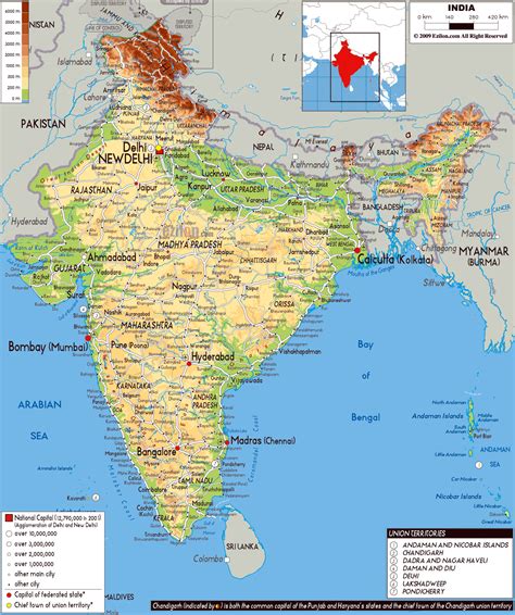
India Kids, Creative India, Detailed , Debagrām, India
1412 x 1689px
Debagrām
,
India
Load More Maps
Close
Home
Locations
China
Egypt
India
Japan
Mexico
South Korea
About
Contribute
Contact
Search for: