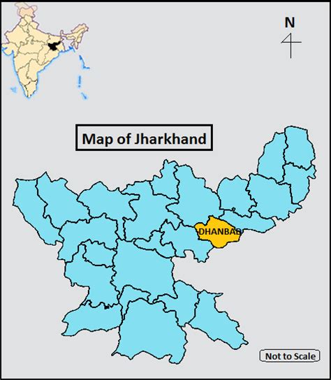
Dhanbad is the second-most populated city in the Indian state of Jharkhand after Jamshedpur. It ranks as the 42nd largest city in India and is the 33rd largest million-plus urban agglomeration in India. Dhanbad shares its land borders with Paschim Bardhaman district and Purulia district of West Bengal and Bokaro, Giridih and Jamtara districts of Jharkhand. The city is called the ‘Coal Capital of India’ for housing one of the largest coal mines of India. The prestigious institute, Indian School of Mines (now IIT Dhanbad) is situated in Dhanbad. Apart from coal, it has also grown in information technology.
Dhanbad is the 96th fastest growing city of the world by the City Mayors Foundation. It is the 56th cleanest city of India, according to the 2019 Swachh Survekshan cleanliness survey. It showed a great change in the city which was considered the dirtiest city in the 2018 Swachh Survekshan. Dhanbad Municipal Corporation works for increasing green cover in the city. Among the rail divisions of Indian Railway, Dhanbad Rail Division is the second-largest in revenue generation after the Mumbai division. Dhanbad ranked as the top city in India with the highest 4G mobile phone network availability in India by a survey of Opensignal.