Kiribati (), officially the Republic of Kiribati (Gilbertese: [Ribaberiki] Kiribati), is an island country in Oceania in the central Pacific Ocean. Its permanent population is over 119,000 as of 2020 census, with more than half living on Tarawa atoll. The state comprises 32 atolls and one remote raised coral island, Banaba. Its total land area is 811 km2 (313 sq mi) dispersed over 3,441,810 km2 (1,328,890 sq mi) of ocean.
The islands’ spread straddles the equator and the 180th meridian, although the International Date Line goes around Kiribati and swings far to the east, almost reaching 150°W. This brings Kiribati’s easternmost islands, the southern Line Islands south of Hawaii, into the same day as the Gilbert Islands and places them in the most advanced time zone on Earth: UTC+14.
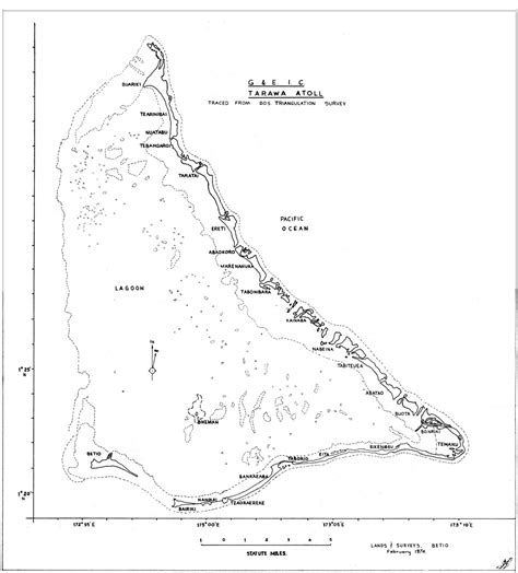
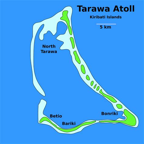
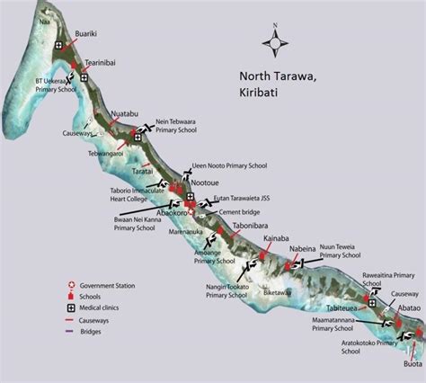
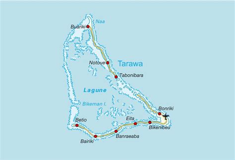
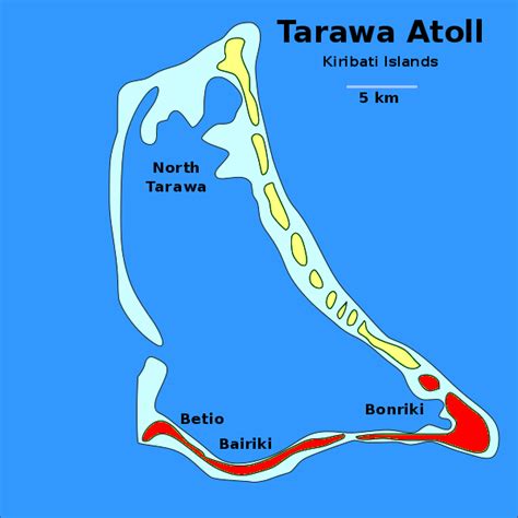
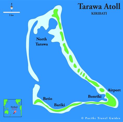
Kiribati gained its independence from the United Kingdom, becoming a sovereign state in 1979. The capital, South Tarawa, now the most populated area, consists of a number of islets, connected by a series of causeways. These comprise about half the area of Tarawa Atoll. Prior to its independence, the country had exported phosphate, but those mines are no longer viable with fisheries and export of copra driving much of the economy. Kiribati is one of the least developed countries in the world and is highly dependent on international aid for its economy.
Kiribati is a member of the Pacific Community, Commonwealth of Nations, the International Monetary Fund, the World Bank, and the Organisation of African, Caribbean and Pacific States, and became a full member of the United Nations in 1999. As an island nation, the islands are vulnerable to climate change and tsunamis. Addressing climate change has been a central part of its international policy, as a member of the Alliance of Small Island States.