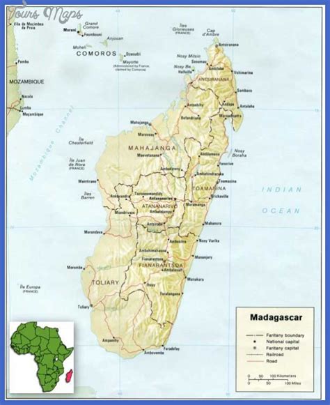
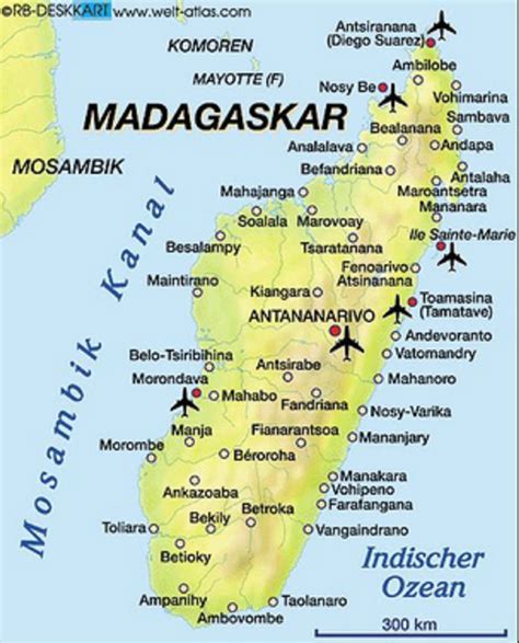
Location: Miandrarivo 🌎
Location: Miandrarivo, Madagascar
Administration Region: Antananarivo
Population: 27000
ISO2 Code: Antananarivo
ISO3 Code: MDG
Location Type:
Latitude: -19.4333
Longitude: 46.75
Miandrarivo is a town and commune in Madagascar. It belongs to the district of Faratsiho, which is a part of Vakinankaratra Region. The population of the commune was estimated to be approximately 27,000 in 2001 commune census.Primary and junior level secondary education are available in town. The majority 90% of the population of the commune are farmers, while an additional 8% receives their livelihood from raising livestock. The most important crop is rice, while other important products are beans, maize and potatoes. Services provide employment for 2% of the population.
Top Miandrarivo HD Maps, Free Download 🗺️
Map
Maps
United States
United States
World Map
China
China

