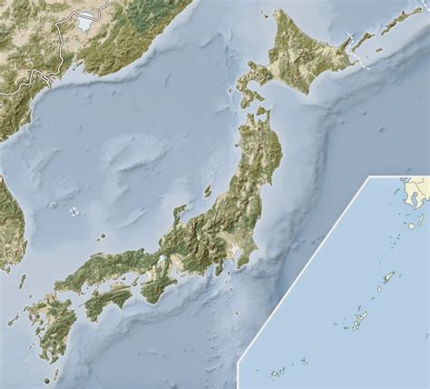
Location: Minamikyūshū 🌎
Location: Minamikyūshū, Japan
Administration Region: Kagoshima
Population: 33115
ISO2 Code: Kagoshima
ISO3 Code: JPN
Location Type:
Latitude: 31.3778
Longitude: 130.4419
Minamikyūshū (南九州市, Minamikyūshū-shi, lit. “South Kyushu City”) is a city located on the southern tip of Satsuma Peninsula, in Kagoshima Prefecture, Japan. As of March 31, 2011, the city has an estimated population of 39,738, with 17,288 households and a population density of 111.05 per km². The total area is 357.85 km².
The modern city of Minamikyūshū was established on December 1, 2007, from the merger of the town of Ei (from Ibusuki District), and the towns of Chiran and Kawanabe (both from Kawanabe District).
Top Minamikyūshū HD Maps, Free Download 🗺️
Map
Maps
United States
United States
World Map
China
China
