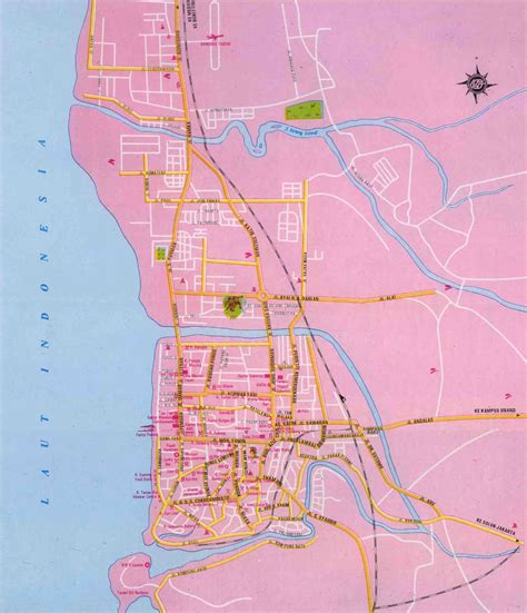
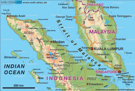
Padang (Indonesian pronunciation: [ˈpadaŋ]) is the capital and largest city of the Indonesian province of West Sumatra. With a Census population of 1,015,000 as of 2022, it is the 16th most populous city in Indonesia and the most populous city on the west coast of Sumatra. The Padang metropolitan area is the third most populous metropolitan area in Sumatra with a population of over 1.4 million. Padang is widely known for its Minangkabau culture, cuisine, and sunset beaches.
The city had historically been a trading center since the pre-colonial era, trading in pepper and gold. The Dutch made contact with the city in the mid 17th century, eventually constructing a fortress and taking over control of the city from the Pagaruyung Kingdom. Save for several interruptions of British rule, Padang remained part of the Dutch East Indies as one of its major cities until Indonesian independence. In 1906, Padang along with Palembang became the first populated places in Sumatra to achieve city status (gemeente).