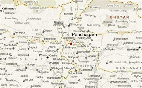
Location: Panchānandapur 🌎
Location: Panchānandapur, India
Administration Region: West Bengal
Population: 26358
ISO2 Code: West Bengal
ISO3 Code: IND
Location Type:
Latitude: 24.944
Longitude: 87.9776
Panchanandapur (also known as Pagla Ghat) is the largest village in the eastern side of Ganga River in the Kaliachak II CD block in the Malda Sadar subdivision of Malda district in the state of West Bengal, India.
Top Panchānandapur HD Maps, Free Download 🗺️
Map
Maps
United States
United States
World Map
China
China
