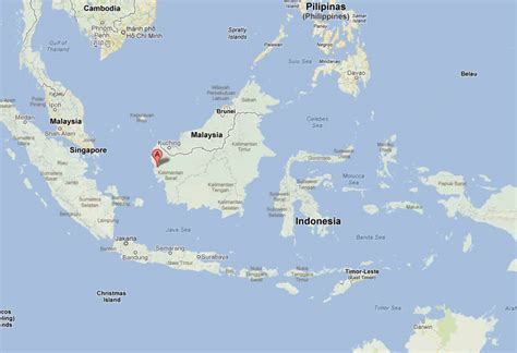
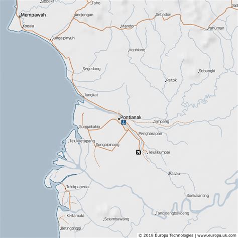
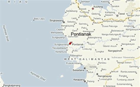
Pontianak or Khuntien is the capital of the Indonesian province of West Kalimantan, founded first as a trading port on the island of Borneo, occupying an area of 118.31 km2 in the delta of the Kapuas River at a point where it is joined by its major tributary, the Landak River. The city is on the equator, hence it is widely known as Kota Khatulistiwa (Equatorial City). The city center is less than 3 kilometres (2 mi) south of the equator. Pontianak is the 26th most populous city in Indonesia, and the fifth most populous city on the island of Borneo (Kalimantan) after Samarinda, Balikpapan, Kuching and Banjarmasin. It had a population of 658,685 at the 2020 Census within the city limits, with significant suburbs outside those limits. The official estimate as at mid 2021 was 663,713.The city was founded as a small Malay fishing village at the mouth of the Kapuas River. It then became the seat of the Pontianak Sultanate for several centuries. Pontianak was then incorporated into the Dutch East Indies after an agreement between the Pontianak Sultanate and the Dutch Government. During the colonial era, Pontianak was the seat of the Residentie Westerafdeeling van Borneo, one of the residencies of the Dutch East Indies.
When the Japanese occupied the Dutch East Indies, Pontianak became the site of the Pontianak massacre, in which many Malay aristocrats and sultans as well as people from other ethnic groups were massacred by the Imperial Japanese Navy, especially in the Massacre of Mandor (Holocaust of Mandor).
After the Japanese surrendered, Pontianak became part of the Republic of Indonesia and was designated as the capital city of the province of West Kalimantan.
Pontianak is a multicultural city, as different ethnic groups such as the Dayak, Malay, Bugis people, and Chinese live in the city, with some immigrants such as Javanese, Madura people, Bataks, Ambon people, Papuans, and Manado people. This has created a culture that cannot be found in other parts of Indonesia. Various languages are spoken in Pontianak, such as Pontianak Malay, Dayak language and different dialects of Chinese and some varieties of Malays, Dayaks, Javanese, Bataks, and Bugis.
Pontianak is connected by air to other cities of Indonesia as well as some cities in Malaysia such as Kuala Lumpur and Kuching. Connected with the Supadio International Airport. Well paved roads of the Trans Kalimantan Road connect Pontianak to all Cities in the Kalimantan, such as Palangkaraya, Banjarmasin, Balikpapan, Samarinda, and Tanjung Selor. other towns also Connected in the Province of West Kalimantan, such as Ketapang, Singkawang, Sintang, etc., as well as other provinces. As Pontianak lies on the Trans Kalimantan Highway, it is possible to travel to East Malaysia and Brunei by land using the Trans Kalimantan Highway. Several bus routes operate from Pontianak to Kuching in Malaysia and Bandar Seri Begawan in Brunei Darussalam.