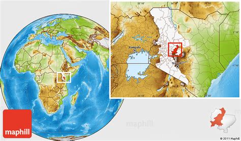
Location: Rumuruti 🌎
Location: Rumuruti, Kenya
Administration Region: Laikipia
Population: 31649
ISO2 Code: Laikipia
ISO3 Code: KEN
Location Type: First-level Admin Capital
Latitude: 0.26
Longitude: 36.5363
Rumuruti is a town in Laikipia County in Kenya’s former Rift Valley Province. It is approximately 40 kilometers due north from Nyahururu, on the Nyahururu-Maralal road (A4). Despite being smaller than either Nanyuki or Nyahururu, which are on the Southeastern and Southwestern corners of Laikipia respectively, its central location meant that it was selected as the administrative headquarters of the new County government in 2013. In 2013 a local business launched a plan to build a 200 million Kenya shilling meat processing facility in the town.Scenes from the Hollywood film King Solomon’s Mines were shot in the town. .
Top Rumuruti HD Maps, Free Download 🗺️
Map
Maps
United States
United States
World Map
China
China
