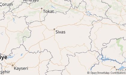
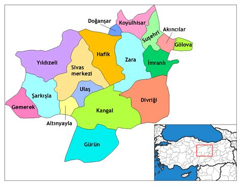
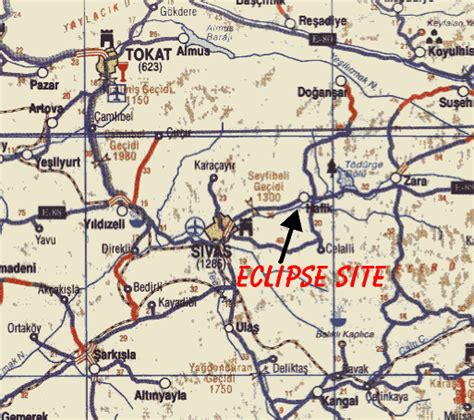
Sivas (Latin and Greek: Sebastia, Sebastea, Σεβάστεια, Σεβαστή, Armenian: Սեբաստիա, romanized: Sebastia) is a city in central Turkey and the seat of Sivas Province.
The city, which lies at an elevation of 1,278 metres (4,193 ft) in the broad valley of the Kızılırmak river, is a moderately-sized trade centre and industrial city, although the economy has traditionally been based on agriculture. Rail repair shops and a thriving manufacturing industry of rugs, bricks, cement, and cotton and woolen textiles form the mainstays of the city’s economy. The surrounding region is a cereal-producing area with large deposits of iron ore which are worked at Divriği.
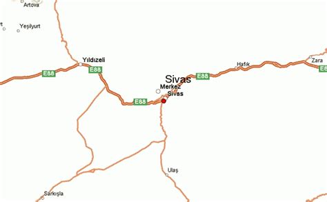
Sivas is also a communications hub for the north–south and east–west trade routes to Iraq and Iran, respectively. With the development of railways, the city gained new economic importance as junction of important rail lines linking the cities of Ankara, Kayseri, Samsun, and Erzurum. The city is linked by air to Istanbul. The popular name Sebastian derives from Sebastianòs, Σεβαστιανός, meaning someone from the city.