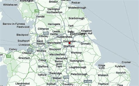
Since 1922, the United Kingdom comprises four constituent countries: England, Scotland, and Wales (which collectively make up Great Britain), as well as Northern Ireland (variously described as a country, province, jurisdiction or region). The UK Prime Minister’s website has used the phrase “countries within a country” to describe the United Kingdom. Some statistical summaries, such as those for the twelve NUTS 1 regions of the UK, refer to Northern Ireland, Scotland, and Wales as “regions”. With regard to Northern Ireland, Scotland and Wales particularly, the descriptive name one uses “can be controversial, with the choice often revealing one’s political preferences”.Although the United Kingdom is a unitary sovereign country, Northern Ireland, Scotland, and Wales have gained a degree of autonomy through the process of devolution. The United Kingdom Parliament and British Government deal with all reserved matters for Northern Ireland, Scotland, and Wales, but not in general matters that have been devolved to the Northern Ireland Assembly, Scottish Parliament, and the Welsh Senedd. Additionally, devolution in Northern Ireland is conditional on co-operation between the Northern Ireland Executive and the Government of Ireland (see North/South Ministerial Council) and the British Government consults with the Government of Ireland to reach agreement on some non-devolved matters for Northern Ireland (see British–Irish Intergovernmental Conference). England, comprising the majority of the population and area of the United Kingdom, remains fully the responsibility of the United Kingdom Parliament centralised in London.
England, Northern Ireland, Scotland, and Wales are not themselves listed in the International Organization for Standardization (ISO) list of countries. However the ISO list of the subdivisions of the United Kingdom, compiled by British Standards and the United Kingdom’s Office for National Statistics, uses “country” to describe England, Scotland, and Wales. Northern Ireland, in contrast, is described as a “province” in the same lists. Each has separate national governing bodies for sports and compete separately in many international sporting competitions, including the Commonwealth Games. Northern Ireland also forms joint All-Island sporting bodies with the Republic of Ireland for some sports, including rugby union.The Channel Islands and the Isle of Man are dependencies of the Crown and are not part of the UK. Similarly, the British Overseas Territories, remnants of the British Empire, are not part of the UK.
From 1801, following the Acts of Union, until 1922 the whole island of Ireland was a country within the UK. Ireland was split into two separate jurisdictions in 1921, becoming Southern Ireland and Northern Ireland. Pursuant to the Anglo-Irish Treaty, the institutions of the revolutionary Irish Republic were assimilated into Southern Ireland, which then became the Irish Free State and left the United Kingdom in 1922. The Irish Free State adopted a new, essentially republican constitution in 1937 – albeit retaining the King for diplomatic functions – by which it would be known as simply Ireland. In 1949, by the Republic of Ireland Act, it transferred these diplomatic functions to its own president, left the Commonwealth of Nations and adopted the description Republic of Ireland, by which it is now known.