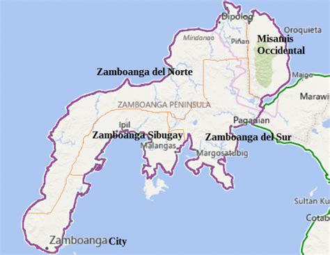
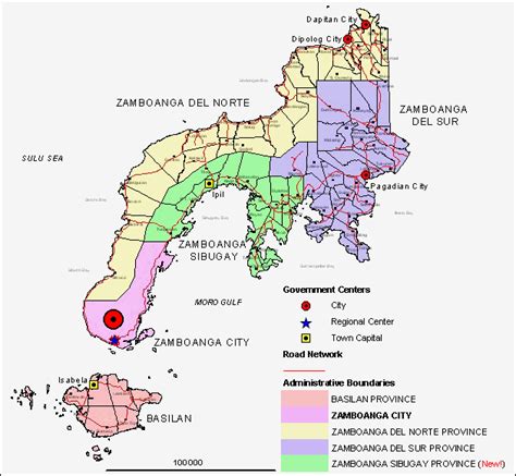
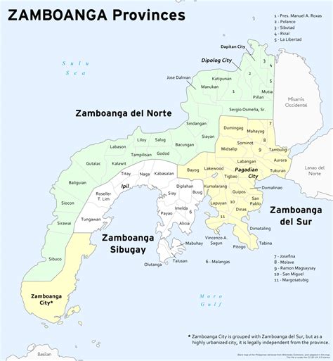
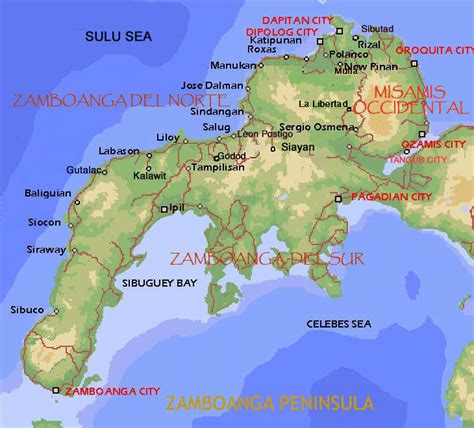
Zamboanga City, officially the City of Zamboanga (Chavacano and Spanish: Ciudad de Zamboanga, Tausug: Dāira sin Sambuangan, Filipino: Lungsod ng Zamboanga, Cebuano: Dakbayan sa Zamboanga), is a 1st class highly urbanized city in the Zamboanga Peninsula region of the Philippines. According to the 2020 census, it has a population of 977,234 people. It is the fifth-most populous and third-largest city by land area in the Philippines. It is the commercial and industrial center of the Zamboanga Peninsula Region.On October 12, 1936, Zamboanga became a chartered city under Commonwealth Act No. 39. It was inaugurated on February 26, 1937.Zamboanga City is an independent, chartered city and was designated highly urbanized on November 22, 1983.Although geographically separated, and an independent and chartered city, Zamboanga City is grouped with the province of Zamboanga del Sur for statistical purposes, yet governed independently from it.