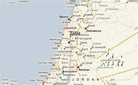
Location: Ẕefat 🌎
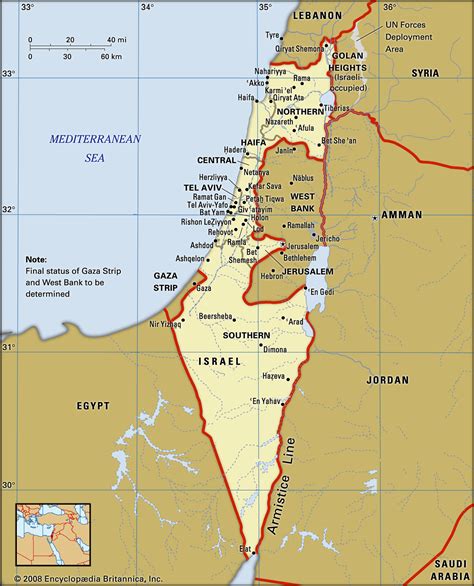
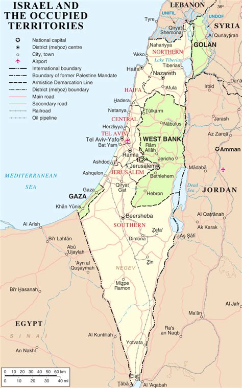
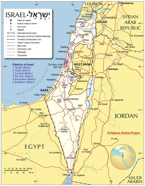
Location: Ẕefat, Israel
Administration Region: Northern
Population: 35700
ISO2 Code: Northern
ISO3 Code: ISR
Location Type:
Latitude: 32.9658
Longitude: 35.4983
Safed (known in Hebrew as Tzfat; Sephardic Hebrew & Modern Hebrew: צְפַת Tsfat, Ashkenazi Hebrew: Tzfas, Biblical Hebrew: Ṣǝp̄aṯ; Arabic: صفد, Ṣafad), is a city in the Northern District of Israel. Located at an elevation of up to 937 metres (3,074 ft), Safed is the highest city in the Galilee and in Israel.Safed has been identified with Sepph, a fortified town in the Upper Galilee mentioned in the writings of the Roman Jewish historian Josephus. The Jerusalem Talmud mentions Safed as one of five elevated spots where fires were lit to announce the New Moon and festivals during the Second Temple period. Safed attained local prominence under the Crusaders, who built a large fortress there in 1168. It was conquered by Saladin 20 years later, and demolished by his grandnephew al-Mu’azzam Isa in 1219. After reverting to the Crusaders in a treaty in 1240, a larger fortress was erected, which was expanded and reinforced in 1268 by the Mamluk sultan Baybars, who developed Safed into a major town and the capital of a new province spanning the Galilee. After a century of general decline, the stability brought by the Ottoman conquest in 1517 ushered in nearly a century of growth and prosperity in Safed, during which time Jewish immigrants from across Europe developed the city into a center for wool and textile production and the mystical Kabbalah movement. It became known as one of the Four Holy Cities of Judaism. As the capital of the Safad Sanjak, it was the main population center of the Galilee, with large Muslim and Jewish communities. Besides during the fortunate governorship of Fakhr al-Din II in the early 17th century, the city underwent a general decline and by the mid-18th century was eclipsed by Acre. Its Jewish residents were targeted in Druze and local Muslim raids in the 1830s, and many perished in an earthquake in that same decade.
Safed’s population reached 24,000 toward the end of the 19th century; it was a mixed city, divided roughly equally between Jews and Muslims with a small Christian community. Its Muslim merchants played a key role as middlemen in the grain trade between the local farmers and the traders of Acre, while the Ottomans promoted the city as a center of Sunni jurisprudence. Safed’s conditions improved considerably in the late 19th century, with its municipal council founded along with a number of banks, though the city’s jurisdiction was limited to the Upper Galilee. Through the philanthropy of Moses Montefiore, its Jewish synagogues and homes were rebuilt. Around the start of British Mandatory rule, in 1922, Safed’s population had dropped to around 8,700, roughly 60% Muslim, 33% Jewish and the remainder Christians. Amid rising ethnic tension throughout Palestine, Safed’s Jews were attacked in an Arab riot in 1929. The city’s population had risen to 13,700 by 1948, overwhelmingly Arab, though the city was proposed to be part of a Jewish state in the 1947 UN Partition Plan. During the 1948 war, Jewish paramilitary forces captured the city after heavy fighting, precipitating the flight of all of Safed’s Palestinian Arabs, such that today the city has an almost exclusively Jewish population.
Safed has a large Haredi community and remains a center for Jewish religious studies. Due to its high elevation, the city has warm summers and cold, often snowy, winters. Its mild climate and scenic views have made Safed a popular holiday resort frequented by Israelis and foreign visitors. In 2021 it had a population of 37,472.
Top Ẕefat HD Maps, Free Download 🗺️
Map
Maps
United States
United States
World Map
China
China
