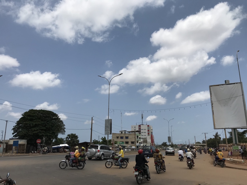
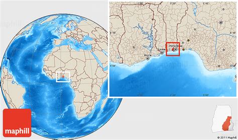
Abomey-Calavi is a city, arrondissement, and commune located in the Atlantique Department of Benin. It is now essentially a suburb of Cotonou and at its closest it begins approximately 18 km from the city centre of Cotonou. The main cities of the commune are Abomey-Calavi itself and Godomey to the south. The commune covers an area of 650 square kilometres and as at the May 2013 Census had a population of 655,965 people. Projected to be the eleventh fastest growing city on the African continent between 2020 and 2025, with a 5.27% growth.The city is home to a constituent monarchy.