Location: Aborlan 🌎
Location: Aborlan, Philippines
Administration Region: Palawan
Population: 38736
ISO2 Code: Palawan
ISO3 Code: PHL
Location Type:
Latitude: 9.4386
Longitude: 118.5481
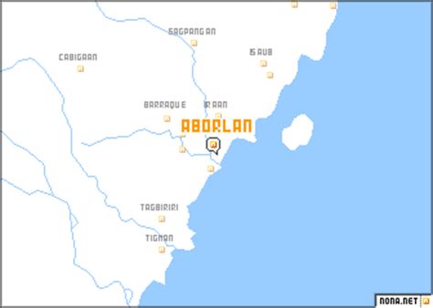
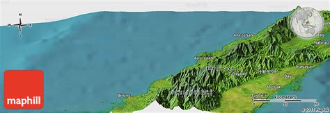
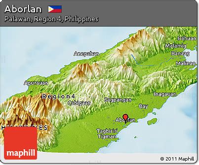
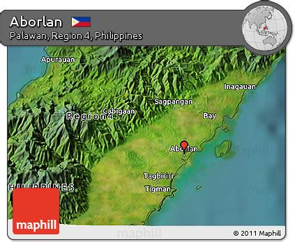
Aborlan, officially the Municipality of Aborlan (Tagalog: Bayan ng Aborlan), is a 1st class municipality in the province of Palawan , Philippines. According to the 2020 census, it has a population of 38,736 people. It lies in a vast plain between the Sulu Sea and the mountains, 69 kilometres (43 mi) south of Puerto Princesa City.
Aborlan became a municipality on June 28, 1949, by Executive Order No. 232. In 1951, the municipality lost the barrios of Berong and Alfonso XII when those were transferred to the newly created town of Quezon.Aborlan is the province’s only town with an agricultural college, now called Western Philippines University. It was founded in 1910.

Top Aborlan HD Maps, Free Download 🗺️
Map
Maps
United States
United States
World Map
China
China


