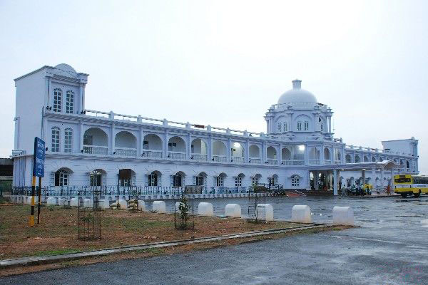
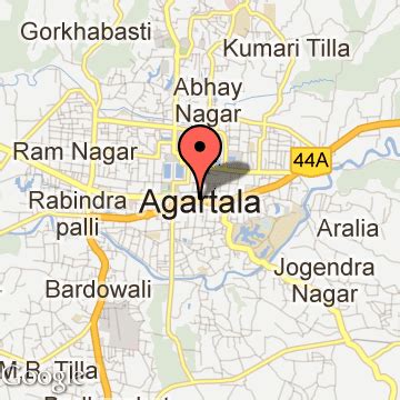
Agartala ( English: Bengali pronunciation: [agorot̪ɔla] ) is the capital and the largest city of the Indian state of Tripura, situated on the banks of Hoara River, about 2 kilometres (1.2 mi) east of the border with Bangladesh and about 2,499 km (1,52 mi) from the National Capital New Delhi. According to 2022 census, Agartala is the third-most populous city in Northeast India with a population of about 5.7 lakh (0.57 million). It is India’s third international internet gateway and being developed under the Smart Cities Mission .