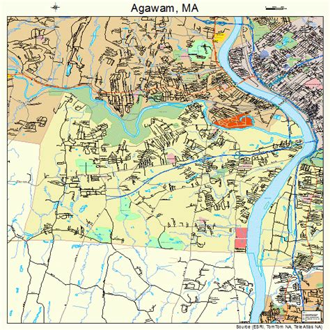
Location: Agawam 🌎
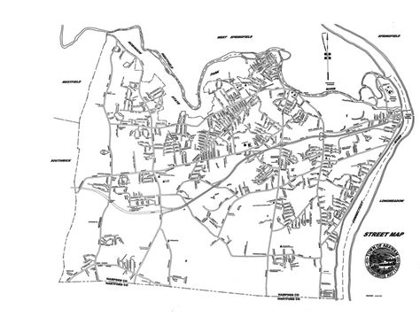
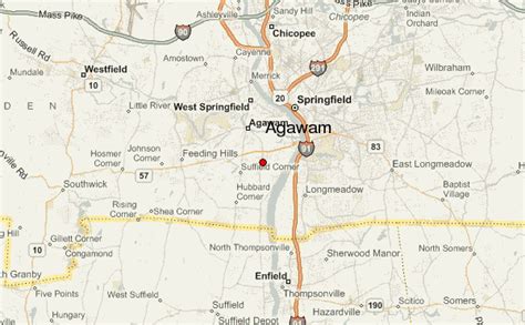
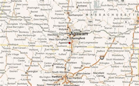
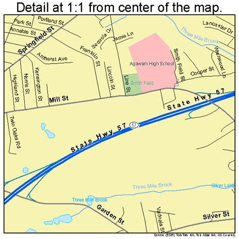
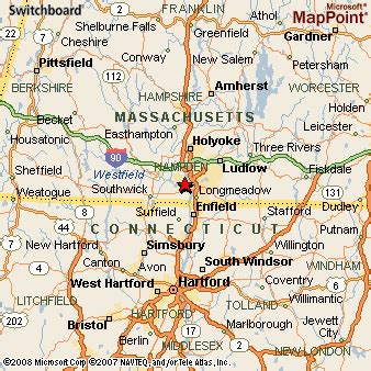
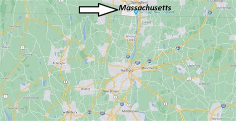
Location: Agawam, United States
Administration Region: Massachusetts
Population: 28715
ISO2 Code: Massachusetts
ISO3 Code: USA
Location Type:
Latitude: 42.0694
Longitude: -72.6153
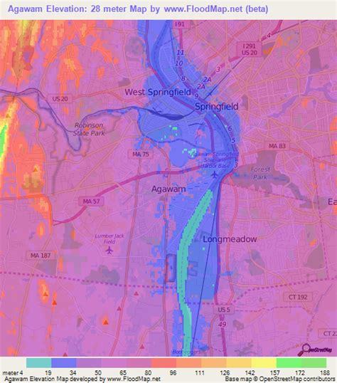
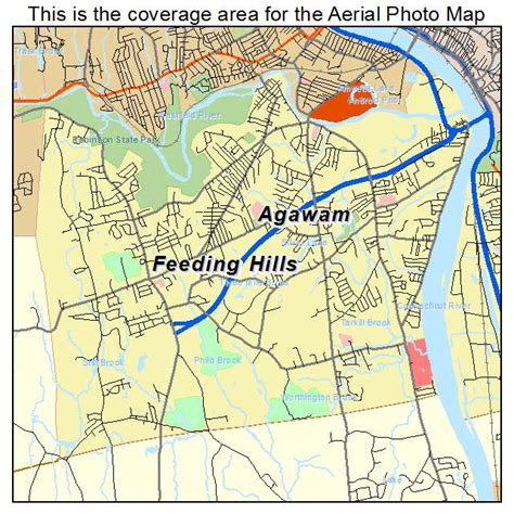
Agawam is a city in Hampden County, Massachusetts, United States. The population was 28,692 at the 2020 census. Agawam sits on the western side of the Connecticut River, directly across from Springfield, Massachusetts. It is considered part of the Springfield Metropolitan Statistical Area, which is contiguous with the Knowledge Corridor area, the 2nd largest metropolitan area in New England. Agawam contains a subsection, Feeding Hills. The Six Flags New England amusement park is located in Agawam, on the banks of the Connecticut River.
Agawam’s ZIP code, 01001, is the lowest in the contiguous United States.

Top Agawam HD Maps, Free Download 🗺️
Map
Maps
United States
United States
World Map
China
China
