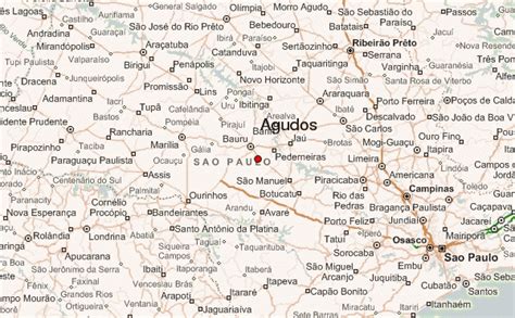
Location: Agudos 🌎
Location: Agudos, Brazil
Administration Region: São Paulo
Population: 37401
ISO2 Code: São Paulo
ISO3 Code: BRA
Location Type:
Latitude: -22.4739
Longitude: -48.9836
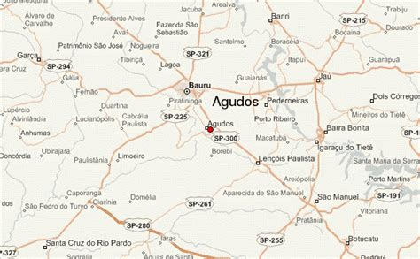
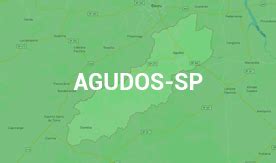
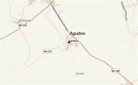
Agudos is a Brazilian municipality located in the west-central part of the state of São Paulo. The population is 37,401 (2020 est.) in an area of 966 km². Distance from the capital is 330 km and is accessed by the Rodovia Marechal Rondon. The municipality was established in 1898, when it was separated from Lençóis.

Top Agudos HD Maps, Free Download 🗺️
Map
Maps
United States
United States
World Map
China
China
