Location: Aguilares 🌎
Location: Aguilares, Argentina
Administration Region: Tucumán
Population: 32097
ISO2 Code: Tucumán
ISO3 Code: ARG
Location Type: Lower-level Admin Capital
Latitude: -27.4333
Longitude: -65.6167
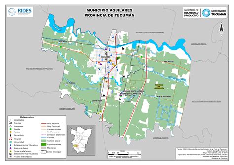
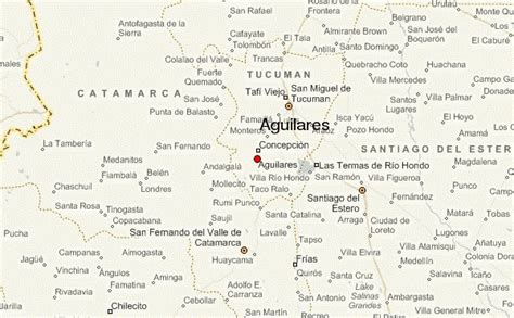
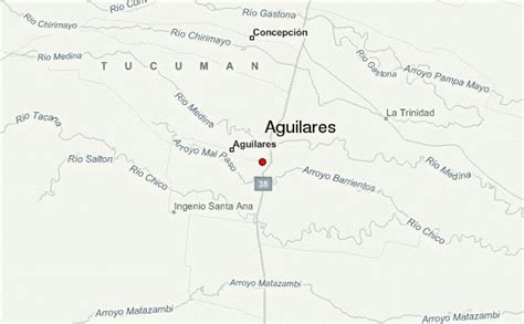
Aguilares is a city in the south of the Tucumán Province, Argentina. It is the largest urban area in the Rio Chico Department, as well as the department seat.
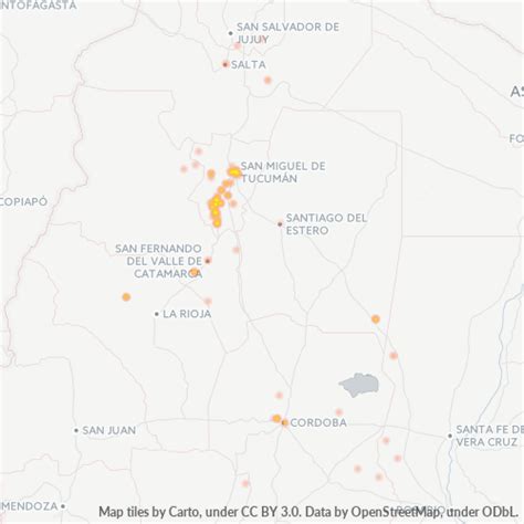
Located 85 km (53 mi) south of the provincial capital, San Miguel de Tucumán, the city extends along route 38, and between the Medinas River (in the north) and the Barrientos Creek (in the south).
Like many cities in Argentina, there are many plazas and parks where people enjoy mate. In the main plaza there is a church (see the above picture) to one side of the plaza facing west. Surrounding the plaza there are many small stores and cafes. On special holidays or events, these plazas become the center of celebrations or fairs.

Top Aguilares HD Maps, Free Download 🗺️
Map
Maps
United States
United States
World Map
China
China
