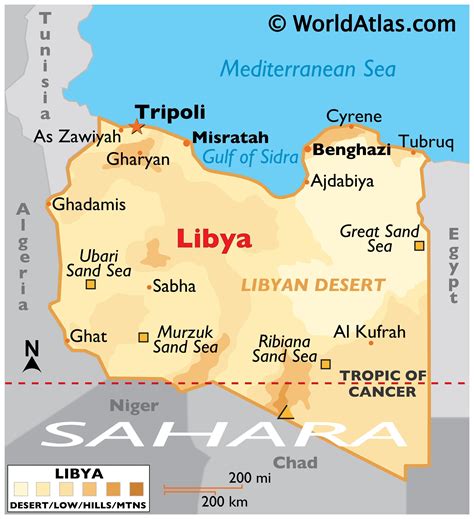
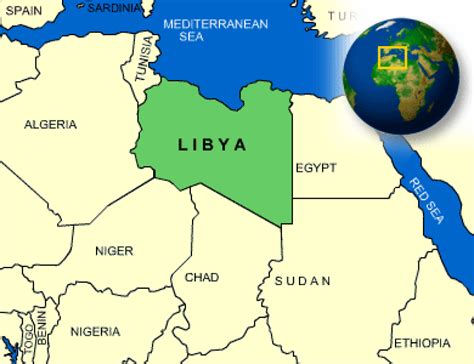
Location: Ajdābiyā 🌎
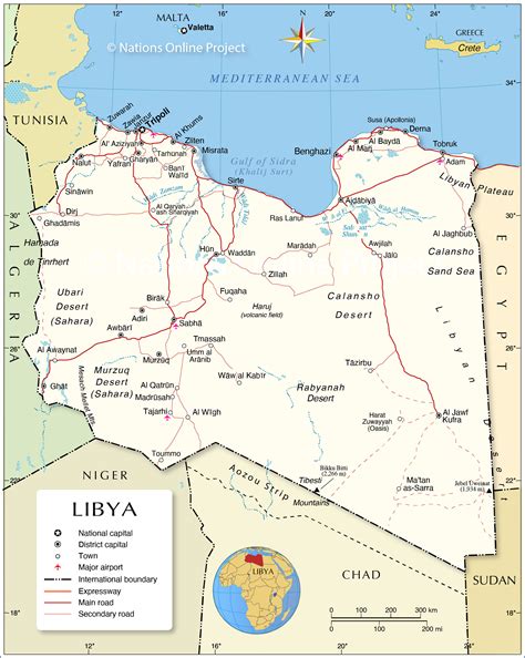
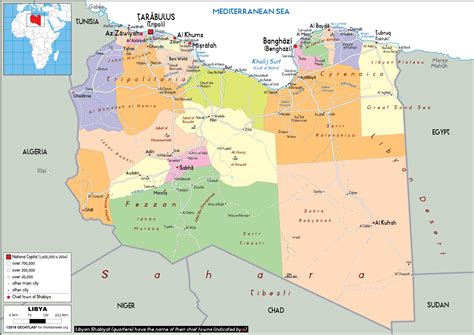
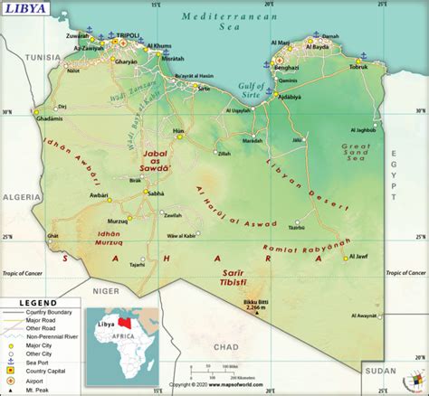
Location: Ajdābiyā, Libya
Administration Region: Al Wāḩāt
Population: 416000
ISO2 Code: Al Wāḩāt
ISO3 Code: LBY
Location Type: First-level Admin Capital
Latitude: 30.7556
Longitude: 20.2253
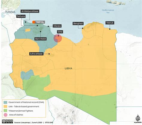
Ajdabiya ( AHJ-də-BEE-ə; Arabic: أجدابيا, romanized: Aǧdābiyā) is a town in and capital of the Al Wahat District in northeastern Libya. It is some 150 kilometres (93 mi) south of Benghazi. From 2001 to 2007 it was part of and capital of the Ajdabiya District. The town is divided into three Basic People’s Congresses: North Ajdabiya, West Ajdabiya and East Ajdabiya.During the Libyan Civil War, the city changed hands several times between rebels and pro-Gaddafi forces, with the anti-Gaddafi forces finally securing the town in April 2011. Although, as many civilians had fled from the fighting, one March 2011 report described the city as a “ghost town.”Later, During the Second Libyan Civil War, the city was taken over by the Ajdabiya Revolutionaries Shura Council until it was taken over by the Libyan National Army on 21 February 2016.
Top Ajdābiyā HD Maps, Free Download 🗺️
Map
Maps
United States
United States
World Map
China
China
