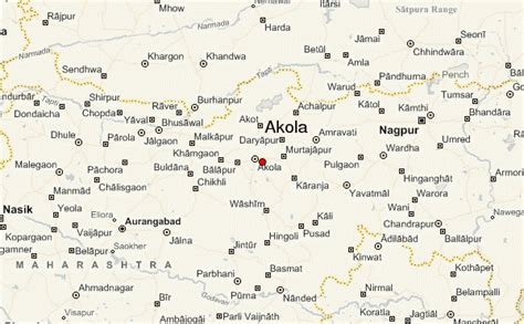
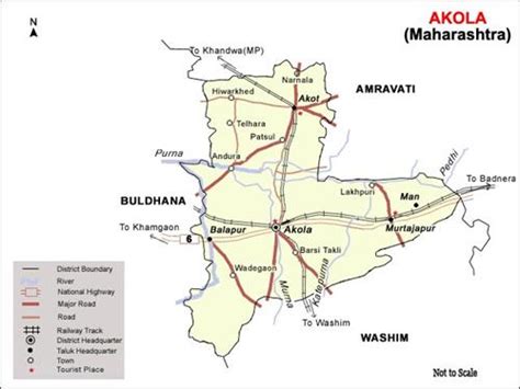
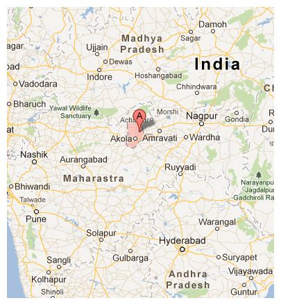
Akola () is a major city in Vidarbha Region, it is governed by a Municipal Corporation, it is the third largest city in Vidarbha after Nagpur and Amravati. is located about 580 kilometres (360 mi) east of the state capital, Mumbai, and 250 kilometres (160 mi) west of the second capital, Nagpur. Akola is the administrative headquarters of the Akola district located in the Amravati division.
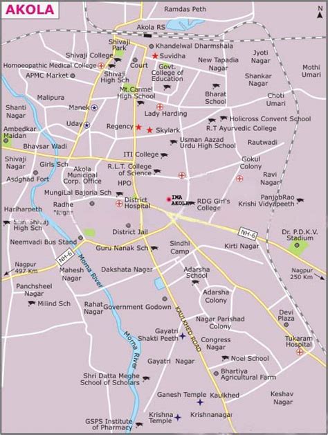
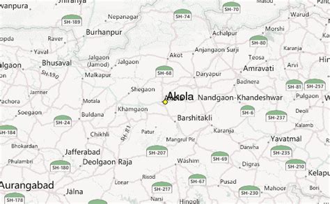
Akola is located north-central of Maharashtra state, western India, on the banks of the Morna River. Although it is not considered a common tourist destination, Akola is an important city due to its history, culture, politics, and agriculture. It also has a prominent road and rail junction in the Tapti River valley that functions as a commercial trading center.
Akola is an important educational center with several colleges affiliated with the Sant Gadge Baba Amravati University. The city is developing into a market center. The primary language spoken by the people of Akola is Marathi.