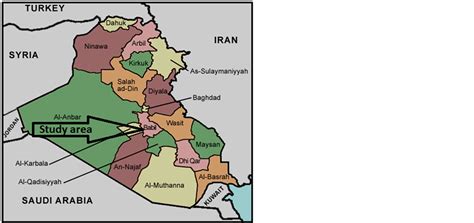
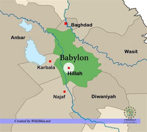
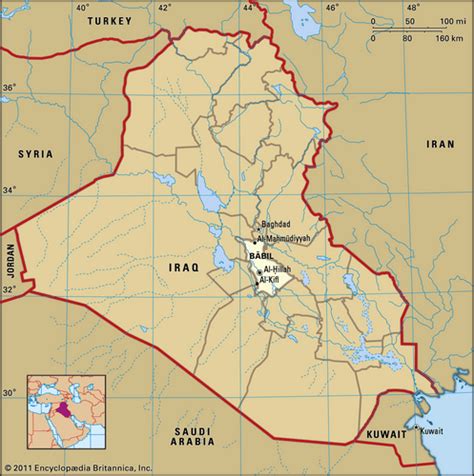
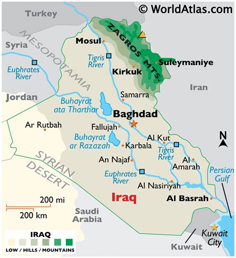
Hillah (Arabic: ٱلْحِلَّة al-Ḥillah), also spelled Hilla, is a city in central Iraq on the Hilla branch of the Euphrates River, 100 km (62 mi) south of Baghdad. The population is estimated at 364,700 in 1998. It is the capital of Babylon Province and is located adjacent to the ancient city of Babylon, and close to the ancient cities of Borsippa and Kish. It is situated in a predominantly agricultural region which is extensively irrigated with water provided by the Hilla canal, producing a wide range of crops, fruit and textiles. Its name may be derived from the word “beauty” in Arabic. The river runs exactly in the middle of the town, and it is surrounded by date palm trees and other forms of arid vegetation, reducing the harmful effects of dust and desert wind.
The city was once a major center of Islamic scholarship and education. The tomb of the Jewish prophet Ezekiel is reputed to be located in a nearby village, Al Kifl.
It became a major administrative centre during the rule of the Ottoman and British Empires. In the 19th century, the Hilla branch of the Euphrates started to silt up and much agricultural land was lost to drought, but this process was reversed by the construction of the Hindiya Barrage in 1911–1913, which diverted water from the deeper Hindiya branch of the Euphrates into the Hilla canal. It saw heavy fighting in 1920 during an uprising against the British, when 300 men of the Manchester Regiment were apparently defeated in the city.