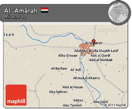
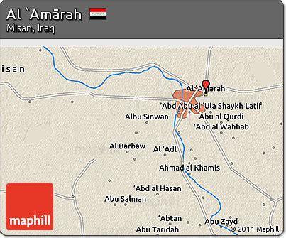
Location: Al ‘Amārah 🌎
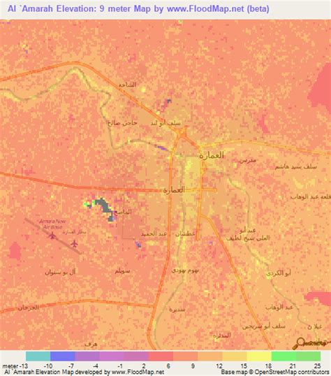
Location: Al ‘Amārah, Iraq Administration Region: Maysān Population: 511500 ISO2 Code: Maysān ISO3 Code: IRQ Location Type: First-level Admin Capital Latitude: 31.8333 Longitude: 47.15
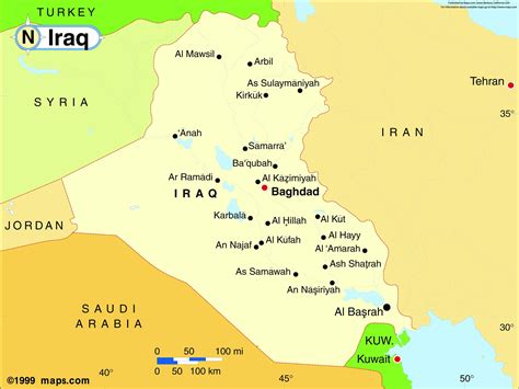
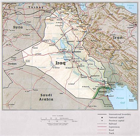
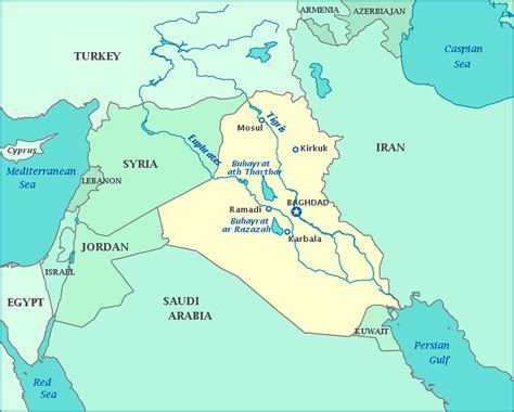
Amarah (Arabic: ٱلْعَمَارَة, romanized: al-ʿAmārah), also spelled Amara, is a city in south-eastern Iraq, located on a low ridge next to the Tigris River waterway south of Baghdad about 50 km (31 mi) from the border with Iran. It lies at the northern tip of the marshlands between the Tigris and Euphrates.It had a population of about 340,000 in 2002 and about 420,000 in 2005 and in 2020 they are about 1,100,000. Amarah is the seat of the Maysan Province. A major trading center for the surrounding agricultural area, the city is known for woven goods and silverware. The staple economic goods produced in northern Amarah are winter cereals such as wheat and barley, as well as animals such as sheep and horses.

Top Al ‘Amārah HD Maps, Free Download 🗺️
Map
Maps
United States
United States
World Map
China
China