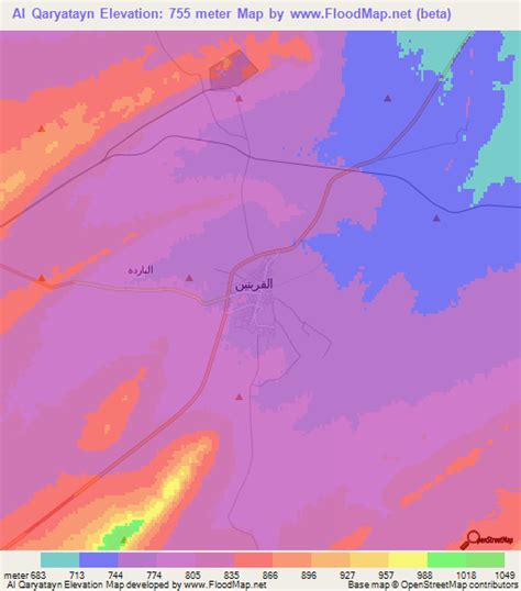
Location: Al Qaryatayn 🌎
Location: Al Qaryatayn, Syria
Administration Region: Ḩimş
Population: 37820
ISO2 Code: Ḩimş
ISO3 Code: SYR
Location Type: Lower-level Admin Capital
Latitude:
Longitude:
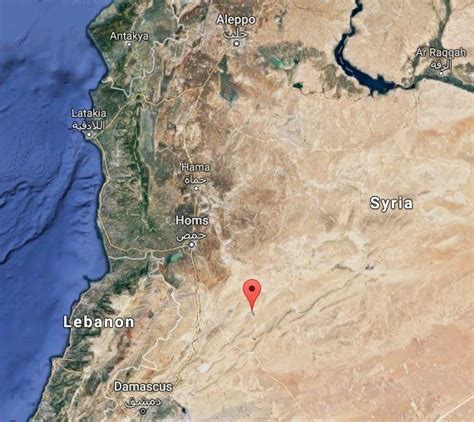
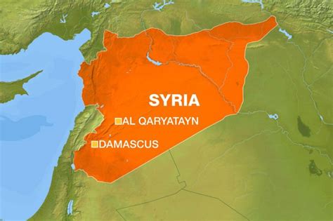
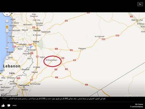
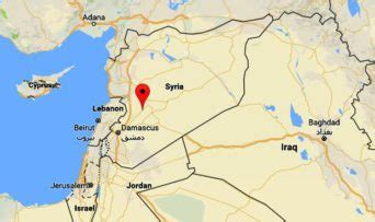
Al-Qaryatayn (Arabic: ٱلْقَرْيَتَين, Syriac: ܩܪܝܬܝܢ), also spelled Karyatayn, Qaratin or Cariatein, is a town in central Syria, administratively part of the Homs Governorate located southeast of Homs. It is situated on an oasis in the Syrian Desert. Nearby localities include Tadmur (Palmyra) to the northeast, Furqlus to the north, al-Riqama and Dardaghan to the northwest, Mahin, Huwwarin and Sadad to the west, Qarah, Deir Atiyah and al-Nabk to the southwest and Jayrud to the south. Al-Qaryatayn translates as “the two villages”.
According to the Syria Central Bureau of Statistics, al-Qaryatayn had a population of 14,208 in the 2004 census. It is the administrative center of the al-Qaryatayn nahiyah (“subdistrict”) which consists of three localities with a collective population of 16,795 in 2004. Its inhabitants are predominantly Sunni Muslims and Christians.
Top Al Qaryatayn HD Maps, Free Download 🗺️
Map
Maps
United States
United States
World Map
China
China

