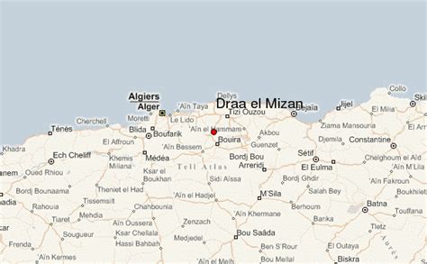
Location: Algeria 🌎
Country: Algeria
ISO2 Code: DZ
ISO3 Code: DZA
Location Type: Country
Latitude: 8
Longitude: 10
Algeria, officially the People’s Democratic Republic of Algeria, is a country in North Africa. Algeria is bordered to the northeast by Tunisia; to the east by Libya; to the southeast by Niger; to the southwest by Mali, Mauritania, and Western Sahara; to the west by Morocco; and to the north by the Mediterranean Sea. It is considered part of the Maghreb region of North Africa. It has a semi-arid geography, with most of the population living in the fertile north and the Sahara dominating the geography of the south. Algeria covers an area of 2,381,741 square kilometres (919,595 sq mi), making it the world’s tenth largest nation by area, and the largest nation in Africa, more than 200 times as large as the continent’s smallest country, The Gambia. With a population of 44 million, Algeria is the tenth-most populous country in Africa, and the 32nd-most populous country in the world. The capital and largest city is Algiers, located in the far north on the Mediterranean coast.
Algeria produced and is linked to many civilizations, empires and dynasties, including Numidians, Mauretanians, Phoenicians, Carthaginians, Romans, Vandals, Mauro-Romans, Byzantines, Umayyads, Ifranids, Abbasids, Rustamids, Idrisids, Sulaymanids, Aghlabids, Fatimids, Zirids, Hammadids, Almoravids, Almohads, Marinids, Hafsids and the Zayyanids.
The Spanish expansionism led to the establishment of Ottoman Algeria in 1516, a state that attracted people from all over the Mediterranean, making its capital Algiers one of the largest, wealthiest, and most cosmopolitan cities in the world. Its decline in the 19th century resulted in its invasion by the French in 1830. The conquest and pacification of the country that ensued lasted until 1903 and led to Algeria becoming an integral part of France in 1848 and home to over a million European settlers. The Sétif and Guelma massacre in 1945 marked a turning point in Franco-Algerian relations and sparked the Algerian War which concluded with Algeria gaining its independence on 5 July 1962 and the proclamation of the People’s Democratic Republic on 25 September of that year.
The official languages of Algeria are Arabic and Berber. The majority of Algeria’s population is Arab, practicing Islam. The native Algerian Arabic is the main spoken language. French also serves as an administrative and educational language in some contexts, but it has no official status.
Algeria is a semi-presidential republic, with local constituencies consisting of 58 provinces and 1,541 communes. Algeria is a regional power in North Africa, and a middle power in global affairs. It has the highest Human Development Index of all continental African countries and one of the largest economies on the continent, based largely on energy exports. Algeria has the world’s sixteenth-largest oil reserves and the ninth-largest reserves of natural gas. Sonatrach, the national oil company, is the largest company in Africa, supplying large amounts of natural gas to Europe. Algeria’s military is one of the largest in Africa, and has the largest defence budget on the continent. It is a member of the African Union, the Arab League, the OIC, OPEC, the United Nations, and the Arab Maghreb Union, of which it is a founding member.
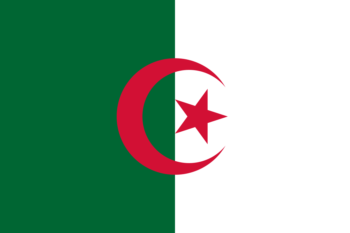
Top Algeria HD Maps, Free Download 🗺️
Map
Maps
United States
United States
World Map
China
China
