Location: Algiers 🌎
Location: Algiers, Algeria
Administration Region: Alger
Population: 3415811
ISO2 Code: Alger
ISO3 Code: DZA
Location Type: Primary Capital
Latitude:
Longitude:
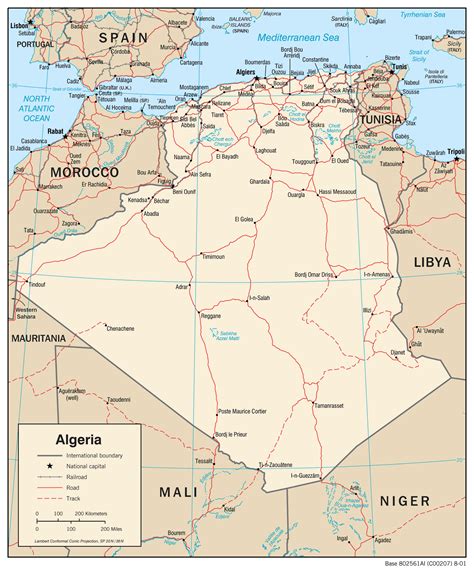
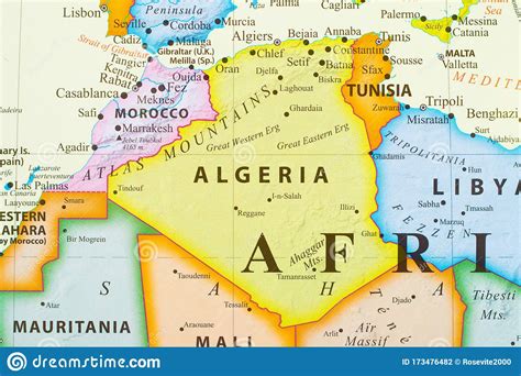
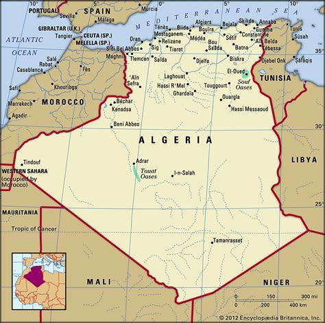
Algiers ( al-JEERZ; Arabic: الجزائر, romanized: al-Jazāʾir; Berber languages: Dzayer; French: Alger, [alʒe]) is the capital and largest city of Algeria. The city’s population at the 2008 census was 2,988,145 and in 2020 was estimated to be around 4,500,000. Algiers is in the north-central part of Algeria.Algiers is situated on the west side of the Bay of Algiers, in the Mediterranean Sea. The modern part of the city is built on the level ground by the seashore; the old part, the ancient city of the deys, climbs the steep hill behind the modern town and is crowned by the Casbah or citadel (a UNESCO World Heritage Site), 122 metres (400 ft) above the sea. The Casbah and the two quays form a triangle.
Top Algiers HD Maps, Free Download 🗺️
Map
Maps
United States
United States
World Map
China
China


