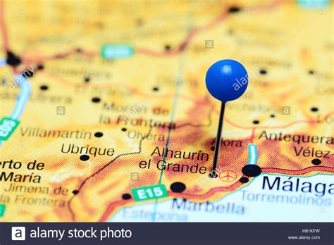
Location: Alhaurín el Grande 🌎
Location: Alhaurín el Grande, Spain
Administration Region: Andalusia
Population: 26436
ISO2 Code: Andalusia
ISO3 Code: ESP
Location Type:
Latitude: 36.6331
Longitude: -4.6831
Alhaurín el Grande is a town located in the province of Málaga in the autonomous community of Andalusia in southern Spain.
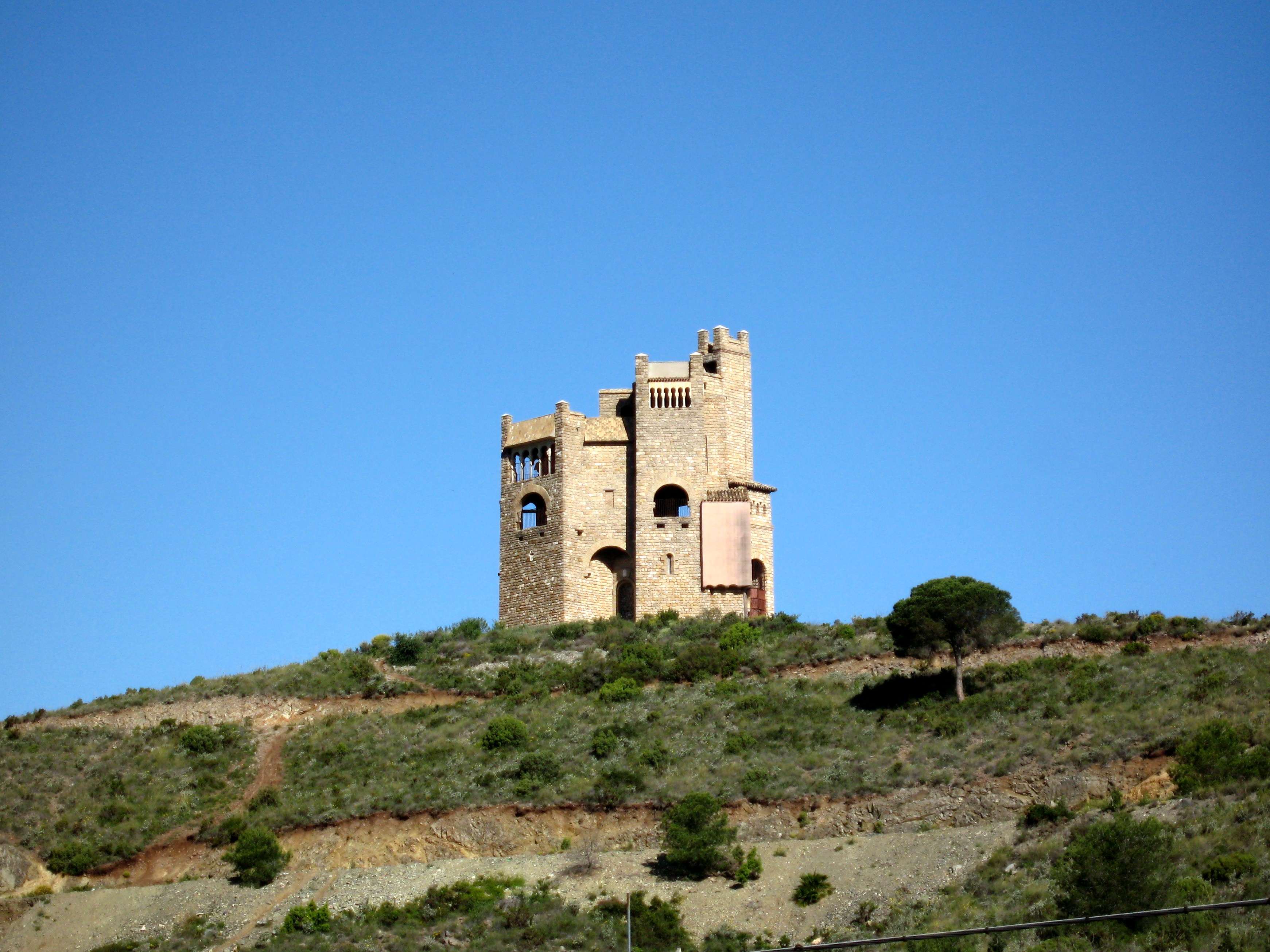
It covers an area of 73.1 km2 extending from the northern slope of the Sierra de Mijas and the plain of the Guadalhorce river, where alternate crops of citrus and other fruit trees orchards are found. The population reaches 23,675 inhabitants, according to 2010 data.
The origin of the name was given by the Arabs, who called it “Alhaurin”, where the Catholic Monarchs added “el Grande” to distinguish it from the neighboring town of Alhaurín de la Torre after the conquest of both sites in 1485.
It is situated between the river Fahala and the stream of Blas González. The coast is close by and there is a network of roads to get there. There is a road to Málaga Airport and Torremolinos, which takes about 30 minutes by car. A new road was built in 2010 connecting the town with Fuengirola and the beach which is only 20 minutes drive. There is also another new road to Marbella, to the southwest with Mijas just along a winding road round the mountain. From Alhaurín there is a view over the “Hoya de Málaga”, Málaga’s vale, full of lemon trees and other fruit trees.
Villafranco del Guadalhorce is a village within Alhaurín el Grande’s municipal term. It was founded by colonist families in the 1950s and subsidized by the Instituto Nacional de Colonización of the Spanish government.
Top Alhaurín el Grande HD Maps, Free Download 🗺️
Map
Maps
United States
United States
World Map
China
China