Location: Alicia 🌎
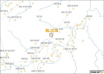
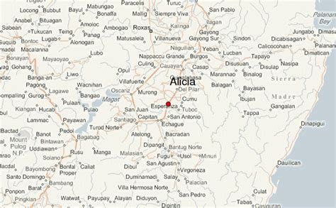
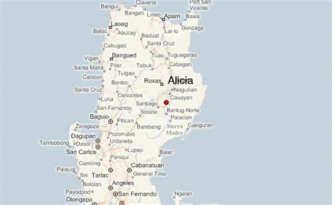
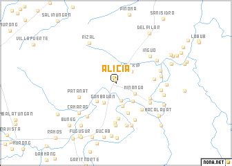
Location: Alicia, Philippines
Administration Region: Isabela
Population: 73874
ISO2 Code: Isabela
ISO3 Code: PHL
Location Type:
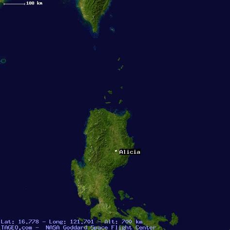
Latitude: 16.7787
Longitude: 121.6972
Alicia, officially the Municipality of Alicia (Ilocano: Ili ti Alicia; Tagalog: Bayan ng Alicia; formerly known as Angadanan Viejo), is a 1st class municipality in the province of Isabela, Philippines. According to the 2020 census, it has a population of 73,874 people. The municipality is located in an area of predominantly flat and fertile land in the Cagayan Valley that is surrounded by the Caraballo Mountains to the south, the Great Sierra Madre to the east, and the Cordillera Mountain Range to the west. It is the largest rice producer in the entire Cagayan Valley and has the largest irrigated rice field in the whole Region II of the Philippines.
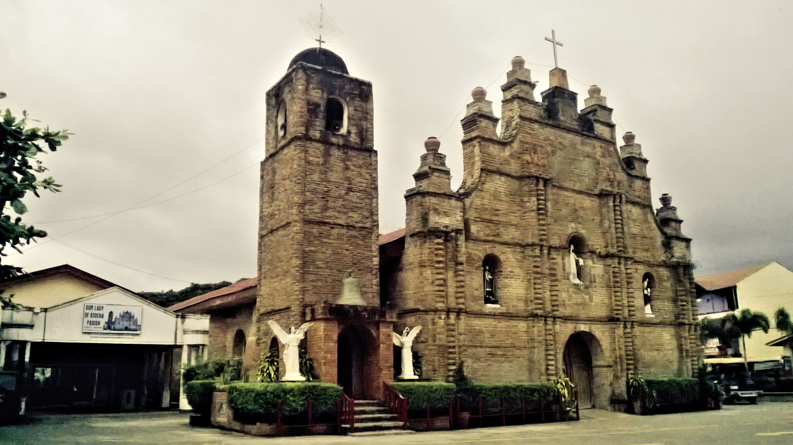
Alicia, the old town of Angadanan, is known for the Pagay Festival Balitok Ti Alicia and its famous historical landmark, the Our Lady of Atocha Church completed and inaugurated in 1849 which was officially declared by the Philippine Department of Tourism as a national religious tourist destination in the Philippines.
Top Alicia HD Maps, Free Download 🗺️
Map
Maps
United States
United States
World Map
China
China
