Location: Almaty 🌎
Location: Almaty, Kazakhstan
Administration Region:
Population: 1916822
ISO2 Code:
ISO3 Code: KAZ
Location Type: First-level Admin Capital
Latitude: 43.2775
Longitude: 76.8958
Almaty (; Kazakh: Алматы; Kazakh pronunciation: [ɑlmɑˈtə] ; Russian: Алматы́), formerly known as Alma-Ata (Russian: Алма-Ата), is the largest city in Kazakhstan, with a population of over 2 million. It was the capital of Kazakhstan from 1929 to 1936 as an autonomous republic as part of the Soviet Union, then from 1936 to 1991 as a union republic and finally from 1991 as an independent state to 1997 when the government relocated the capital to Akmola (renamed Astana in 1998, Nur-Sultan in 2019, and back to Astana in 2022).
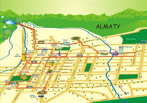
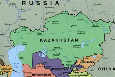
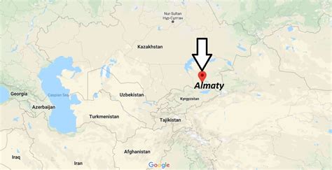
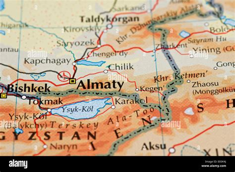
Almaty is still the major commercial, financial, and cultural centre of Kazakhstan, as well as its most populous and most cosmopolitan city. The city is located in the mountainous area of southern Kazakhstan near the border with Kyrgyzstan in the foothills of the Trans-Ili Alatau at an elevation of 700–900 m (2,300–3,000 feet), where the Large and Small Almatinka rivers run into the plain. The city, just like Astana and Shymkent, does not belong to any region and is officially a “city of state importance”.
The city has been part of the UNESCO Creative Cities Network in the area of music since November 2017. The city was the host for a 1978 international conference on Primary Health Care where the Alma Ata Declaration was adopted, marking a paradigm shift in global public health.
Top Almaty HD Maps, Free Download 🗺️
Map
Maps
United States
United States
World Map
China
China


