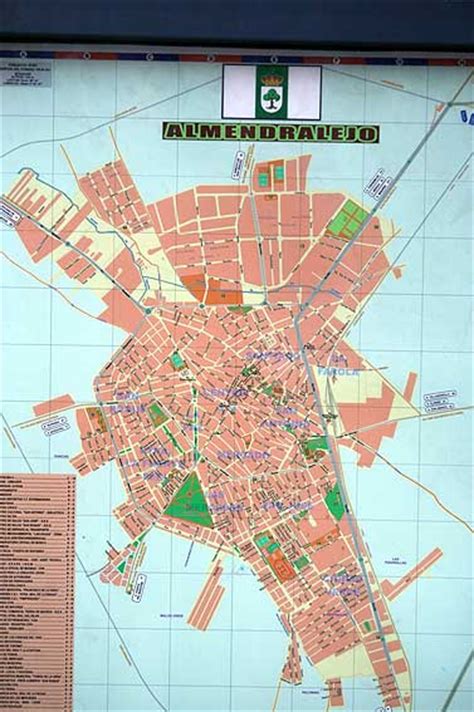
Location: Almendralejo 🌎
Location: Almendralejo, Spain
Administration Region: Extremadura
Population: 33741
ISO2 Code: Extremadura
ISO3 Code: ESP
Location Type:
Latitude: 38.6833
Longitude: -6.4167
Almendralejo (Spanish pronunciation: [almendɾaˈlexo]) is a town in the Province of Badajoz, Extremadura, Spain. It is situated 45 km south-east of Badajoz, on the main road and rail route between Mérida and Seville. As of 2010, it has a population of 33,975. It was the site of a battle and massacre in 1936 during the Spanish Civil War.

Top Almendralejo HD Maps, Free Download 🗺️
Map
Maps
United States
United States
World Map
China
China


