Location: Almora 🌎
Location: Almora, India
Administration Region: Uttarākhand
Population: 34122
ISO2 Code: Uttarākhand
ISO3 Code: IND
Location Type:
Latitude: 29.5971
Longitude: 79.6591
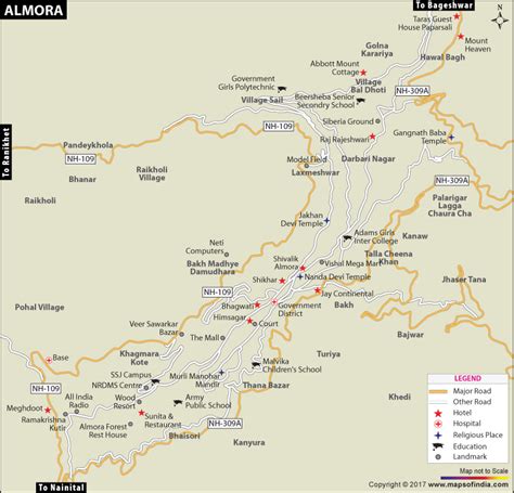
Almora (Kumaoni: Almāḍ) is a municipal board and a cantonment town in the state of Uttarakhand, India. It is the administrative headquarters of Almora district. Almora is located on a ridge at the southern edge of the Kumaon Hills of the Himalaya range. The Koshi (Kaushiki) and Suyal (Salmale) rivers flow along the city and snow-capped Himalayas can be seen in the background.
Almora was founded in 1568. by King Kalyan Chand; however, there are accounts of human settlements in the hills and surrounding region in the Hindu epic Mahabharata (8th and 9th century BCE). Almora was the seat of Chand kings that ruled over the Kumaon Kingdom. It is considered the cultural heart of the Kumaon region of Uttarakhand.
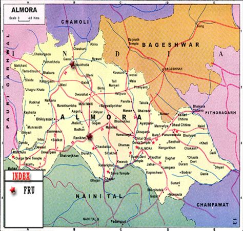
According to the provisional results of the 2019 national census of India, Almora had a population of about 179,000. Nestled within higher peaks of the Himalaya, Almora enjoys a year-round mild temperate climate. The town is visited by thousands of tourists annually from all over the world. There are 11 blocks (i.e. VikashKhand) in Almora district.

Top Almora HD Maps, Free Download 🗺️
Map
Maps
United States
United States
World Map
China
China


