Location: Am-Timan 🌎
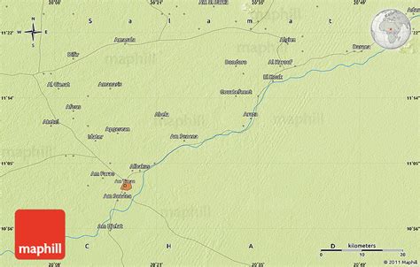
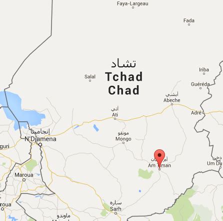
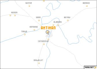
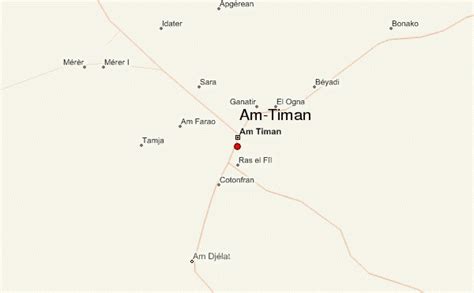
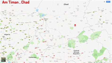
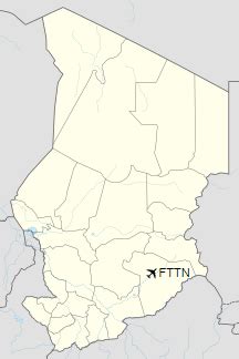
Location: Am-Timan, Chad
Administration Region: Salamat
Population: 38261
ISO2 Code: Salamat
ISO3 Code: TCD
Location Type: First-level Admin Capital
Latitude: 11.0333
Longitude: 20.2833
Am Timan (Arabic: أم تيمان, ʾUmm Tīmān) is a city in Chad and is the capital of the region of Salamat. Am Timan is also known as Dabengat in Chad, which mean the resources of the products. Most of economy comes from Salamat region such as fish, vegetables and anomalies meat etc. In Arabic, Am Timan means “mother of twins,” although the reason for the name was back then there a female of Buffalo gave a twins birth in that particular place so the name came from there/ As the capital of the prefecture, it has the area’ of many towns and villages around it including Zakuma national park. The city has no university but there are schools and colleges, and a clinic, and hosts a large market day and holiday celebrations.
During the conflict period, a cotton plantation and processing plant just outside the city were destroyed.
The city’s sand airport was upgraded by the French Foreign Legion in 1971 to allow military air transports to supply the anti-rebel effort. At the time, the only practical way in or out of the city was by air.
Since the dry season lasts for about seven months of the year, water becomes a problem as the dry season progresses. Aquifers are accessed by digging deeper and deeper into the bed of the Bahr Salamat (river). The river starts flowing with the onset of rain, however, and the children enjoy swimming in it.
Top Am-Timan HD Maps, Free Download 🗺️
Map
Maps
United States
United States
World Map
China
China
