Location: Ambattūr 🌎
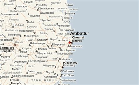
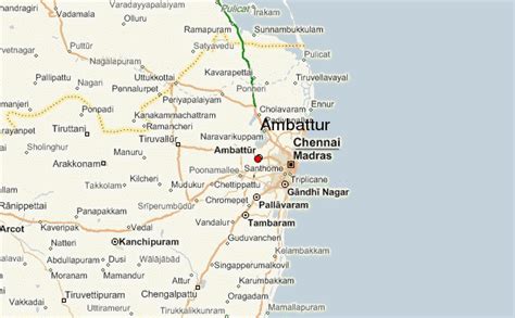
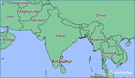
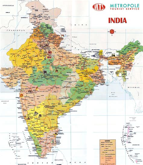
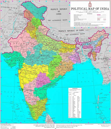
Location: Ambattūr, India Administration Region: Tamil Nādu Population: 466205 ISO2 Code: Tamil Nādu ISO3 Code: IND Location Type: Latitude: 13.1143 Longitude: 80.1548
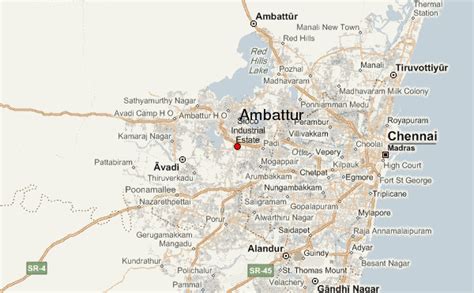
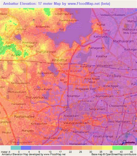
Ambattur is located in northwestern part of Chennai City, in Ambattur taluk of the Chennai District, surrounded by Avadi, Anna Nagar, Padi, Mogappair, Kallikuppam, Surapet, Korattur, Ayappakkam, Athipet and Thiruverkadu. It covers an area of 45 km2 (17 sq mi). The neighbourhood is served by Ambattur railway station of the Chennai Suburban Railway. Ambattur has its origins in a village of the same name which can be located at present as areas opposite to Ambattur telephone exchange. Ambattur was a village with large extents of agricultural farm lands irrigated by the once-sprawling Ambattur Lake. In 2011, the neighbourhood had a population 466,205.

Top Ambattūr HD Maps, Free Download 🗺️
Map
Maps
United States
United States
World Map
China
China