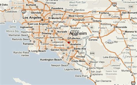
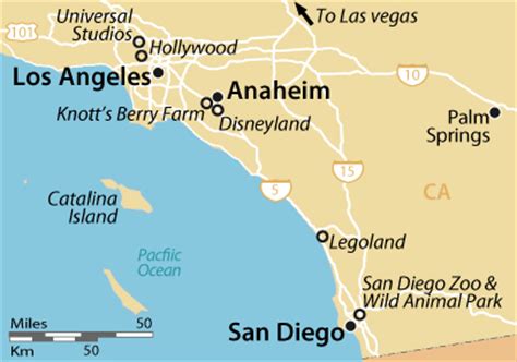
Anaheim ( AN-ə-hyme) is a city in northern Orange County, California, part of the Los Angeles metropolitan area. As of the 2020 United States Census, the city had a population of 346,824, making it the most populous city in Orange County, the 10th-most populous city in California, and the 55th-most populous city in the United States. Anaheim is the second-largest city in Orange County in terms of land area, and is known for being the home of the Disneyland Resort, the Anaheim Convention Center, and two major sports teams: the Los Angeles Angels baseball team and the Anaheim Ducks ice hockey club.
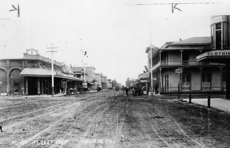
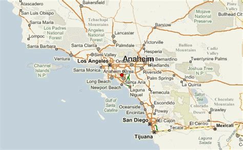
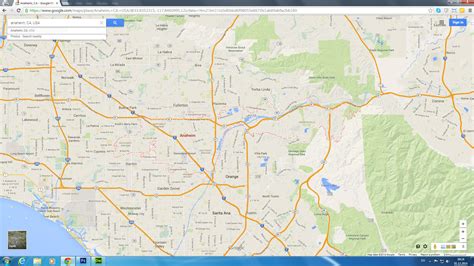
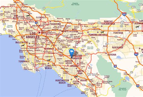
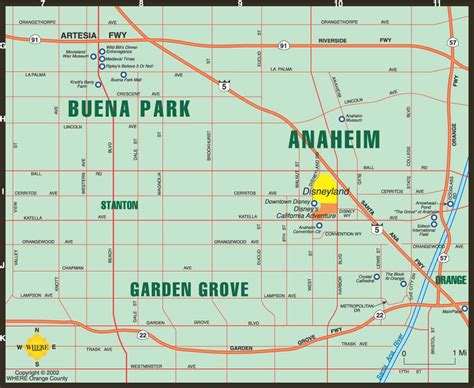
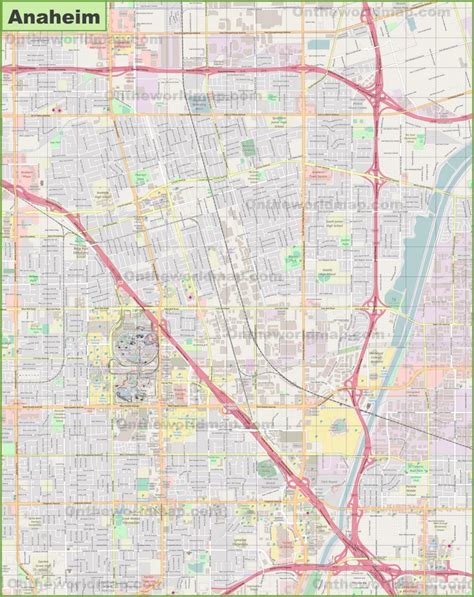
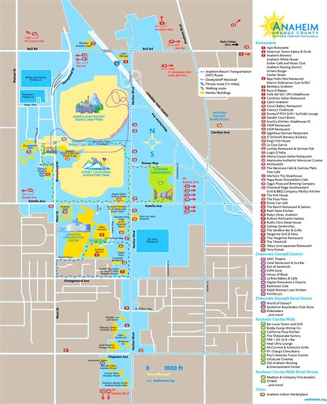
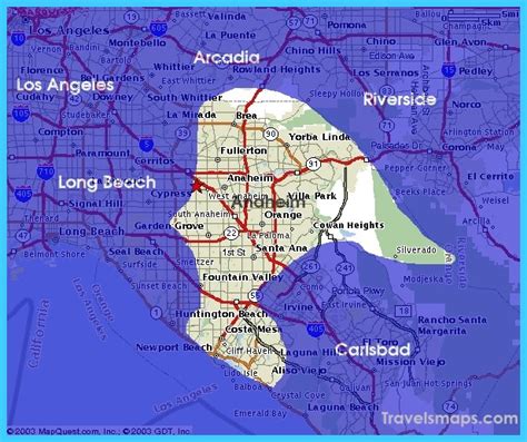
Anaheim was founded by fifty German families in 1857 and incorporated as the second city in Los Angeles County on March 18, 1876; Orange County was split off from Los Angeles County in 1889. Anaheim remained largely an agricultural community until Disneyland opened on July 17, 1955. This led to the construction of several hotels and motels around the area, and residential districts in Anaheim soon followed. The city also developed into an industrial center, producing electronics, aircraft parts and canned fruit. Anaheim is a charter city.Anaheim’s city limits extend almost the full width of Orange County, from Cypress in the west, twenty miles east to the Riverside County line, encompassing a diverse range of neighborhoods. In the west, mid-20th-century tract houses predominate. Downtown Anaheim has three mixed-use historic districts, the largest of which is the Anaheim Colony. South of downtown, a center of commercial activity of regional importance begins, the Anaheim–Santa Ana edge city, which stretches east and south into the cities of Orange, Santa Ana, and Garden Grove. This edge city includes the Disneyland Resort, with two theme parks, multiple hotels, and its retail district; Disney is part of the larger Anaheim Resort district with numerous other hotels and retail complexes. The Platinum Triangle, a neo-urban redevelopment district surrounding Angel Stadium, which is planned to be populated with mixed-use streets and high-rises. Further east, Anaheim Canyon is an industrial district north of the Riverside Freeway and east of the Orange Freeway. The city’s eastern third consists of Anaheim Hills, a community built to a master plan, and open land east of the Route 241 tollway.