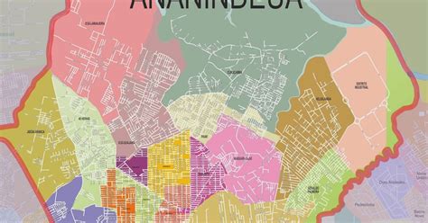
Location: Ananindeua 🌎
Location: Ananindeua, Brazil
Administration Region: Pará
Population: 540410
ISO2 Code: Pará
ISO3 Code: BRA
Location Type:
Latitude: -1.3658
Longitude: -48.3719
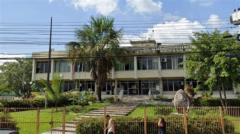
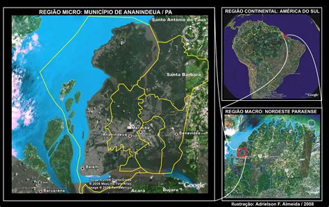
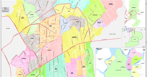
Ananindeua (Portuguese pronunciation: [ananĩˈdewɐ]) is a city in Pará, northern Brazil. It is a part of the Metropolitan Region of Belém, and is the second most populated city in the State of Pará, and the third largest in the Brazilian Amazon region. It has a population of 535,547 according to the last estimation of 2020, done by the Brazilian Statistic and Geography Institute (IBGE).
The municipality contains 1% of the Utinga State Park, created in 1993 to protect the metropolitan area’s water supply.
Top Ananindeua HD Maps, Free Download 🗺️
Map
Maps
United States
United States
World Map
China
China
