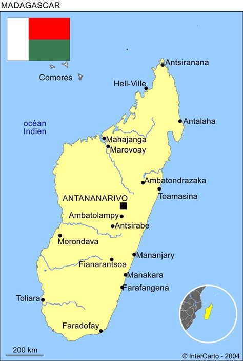
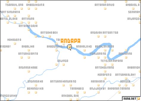
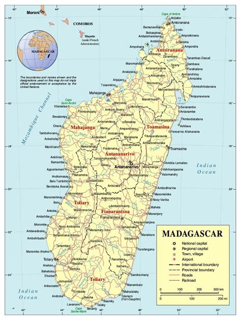
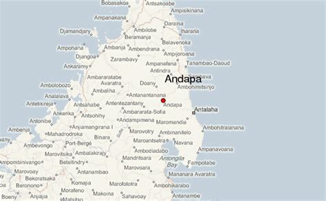
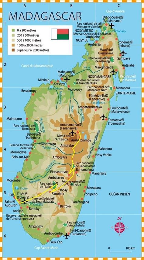
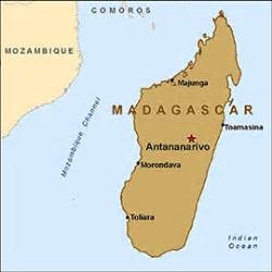
Andapa is a town and commune (Malagasy: firaisana) in northern Madagascar. It belongs to the district of Andapa, which is a part of Sava Region. According to 2001 commune census the population of Andapa was 27,618.Andapa is served by a local airport. It is also a site of industrial-scale mining. The majority 88% of the population are farmers, while an additional 0.5% receives their livelihood from raising livestock. The most important crop is rice, while other important products are beans, tomatoes and vanilla. Industry and services provide employment for 1.5% and 10% of the population, respectively.