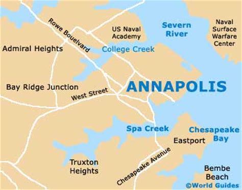
Location: Annapolis 🌎
Location: Annapolis, United States
Administration Region: Maryland
Population: 40581
ISO2 Code: Maryland
ISO3 Code: USA
Location Type: First-level Admin Capital
Latitude: 38.9731
Longitude: -76.5011
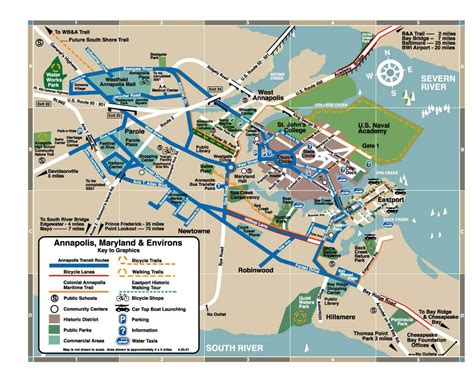
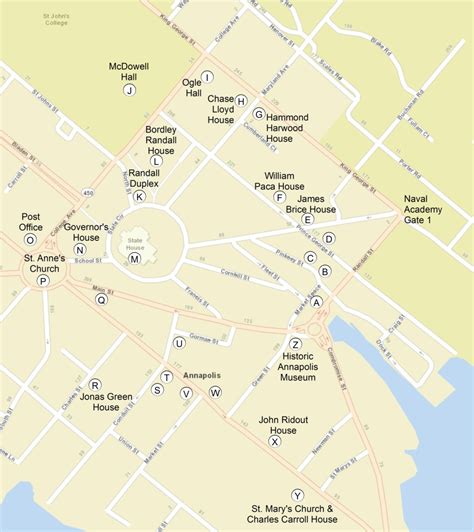
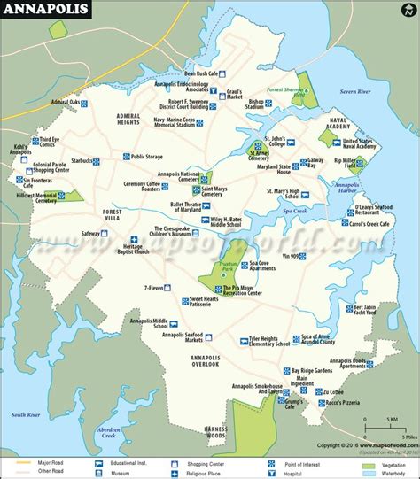
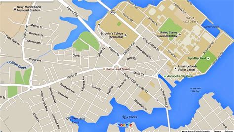
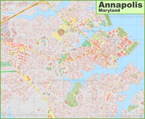
Annapolis ( ə-NAP-ə-lis) is the capital city of the U.S. state of Maryland and the county seat of, and only incorporated city in, Anne Arundel County. Situated on the Chesapeake Bay at the mouth of the Severn River, 25 miles (40 km) south of Baltimore and about 30 miles (50 km) east of Washington, D.C., Annapolis forms part of the Baltimore–Washington metropolitan area. The 2020 census recorded its population as 40,812, an increase of 6.3% since 2010.
This city served as the seat of the Confederation Congress, formerly the Second Continental Congress, and temporary national capital of the United States in 1783–1784. At that time, General George Washington came before the body convened in the new Maryland State House and resigned his commission as commander of the Continental Army. A month later, the Congress ratified the Treaty of Paris of 1783, ending the American Revolutionary War, with Great Britain recognizing the independence of the United States.
The city and state capitol was also the site of the 1786 Annapolis Convention, which issued a call to the states to send delegates for the Constitutional Convention to be held the following year in Philadelphia. Over 220 years later, the Annapolis Peace Conference took place in 2007.
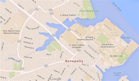
Annapolis is the home of St. John’s College, founded 1696. The United States Naval Academy, established 1845, is adjacent to the city limits.

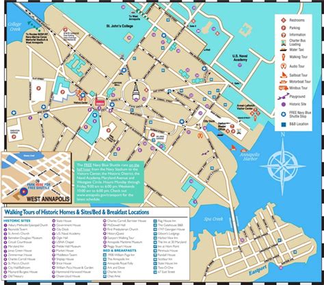
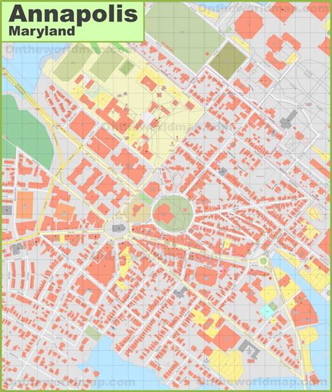
Top Annapolis HD Maps, Free Download 🗺️
Map
Maps
United States
United States
World Map
China
China
