Skip to content
Menu
Home
Locations
Brazil
China
Egypt
India
Germany
Japan
Mexico
South Korea
United States
United Kingdom
About
Contribute
Contact
Location: Annigeri 🌎
Location
: Annigeri, India
Administration Region
: Karnātaka
Population
: 33937
ISO2 Code
: Karnātaka
ISO3 Code
: IND
Location Type
:
Latitude
: 15.43
Longitude
: 75.43
About Annigeri
Annigeri is a taluk of Dharwad district in the state of Karnataka, India, located 20 km west of Gadag en route to Hubli and 35 km from Hubli.
Top Annigeri HD Maps, Free Download 🗺️
Map
Maps
United States
United States
World Map
China
China
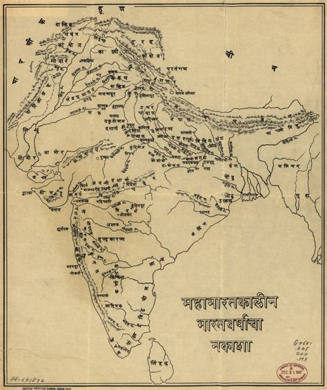
India Drawing, India Graphic, India, Annigeri, India
1714 x 2048px
Annigeri
,
India
Load More Maps
Close
Home
Locations
Brazil
China
Egypt
India
Germany
Japan
Mexico
South Korea
United States
United Kingdom
About
Contribute
Contact
Search for: