Location: Ansan 🌎
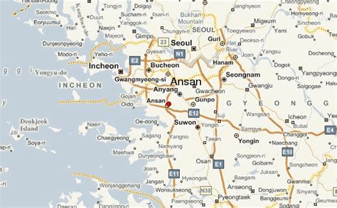
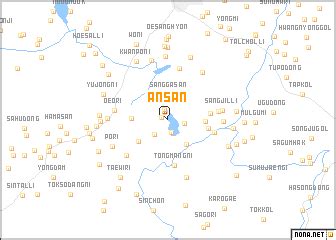
Location: Ansan, South Korea
Administration Region: Gyeonggi
Population: 652800
ISO2 Code: Gyeonggi
ISO3 Code: KOR
Location Type:
Latitude: 37.3167
Longitude: 126.8333
Ansan (Hangeul: 안산, Korean pronunciation: [an.san]) is a city in Gyeonggi Province, South Korea. It lies southwest of Seoul and is part of the Seoul National Capital Area. It is connected to Seoul by rail via Seoul Subway Line 4. It is situated on the Yellow Sea coast and some islands lie within its jurisdiction. The largest and best-known of these is Daebu Island.
Several higher learning institutions are located in Ansan. They include Ansan University, Shin Ansan University, Seoul Institute of the Arts, and the ERICA campus of Hanyang University. The Korea Transportation Safety Authority, a government agency, has also been headquartered in Ansan since June 3, 2002. With its high number of foreign workers, Wongokbon-dong has been designated as a multicultural area. In 2021, Ansan was selected as the largest residential area for foreigners and it is seeking designation as a special multicultural city. Street play festival is held every year in Ansan.
Top Ansan HD Maps, Free Download 🗺️
Map
Maps
United States
United States
World Map
China
China

