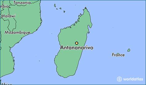
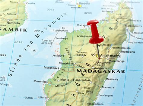
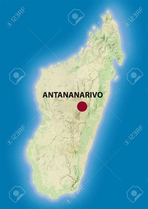
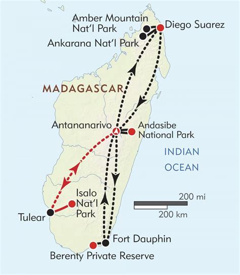
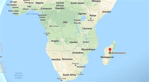
Antananarivo (French: Tananarive, pronounced [tananaʁiv]), also known by its colonial shorthand form Tana, is the capital and largest city of Madagascar. The administrative area of the city, known as Antananarivo-Renivohitra (“Antananarivo-Mother Hill” or “Antananarivo-Capital”), is the capital of Analamanga region. The city sits at 1,280 m (4,199 ft) above sea level in the center of the island, the highest national capital by elevation among the island countries. It has been the country’s largest population center since at least the 18th century. The presidency, National Assembly, Senate and Supreme Court are located there, as are 21 diplomatic missions and the headquarters of many national and international businesses and NGOs. It has more universities, nightclubs, art venues, and medical services than any city on the island. Several national and local sports teams, including the championship-winning national rugby team, the Makis are based here.
Antananarivo was historically the capital of the Merina people, who continue to form the majority of the city’s 1,275,207 (2018 Census) inhabitants. The surrounding urban areas have a total metropolitan population approaching three million. All eighteen Malagasy ethnic groups, as well as residents of Chinese, Indian, European and other origins, are represented in the city. It was founded circa 1610, when the Merina King Andrianjaka (1612–1630) expelled the Vazimba inhabitants of the village of Analamanga. Declaring it the site of his capital, Andrianjaka built a rova (fortified royal dwelling) that expanded to become the royal palaces of the Kingdom of Imerina. The city retained the name Analamanga until the reign of King Andriamasinavalona (1675–1710), who renamed it Antananarivo (“City of the Thousand”) in honor of Andrianjaka’s soldiers.
The city served as the capital of the Kingdom of Imerina until 1710 when Imerina split into four warring quadrants. Antananarivo became the capital of the southern quadrant until 1794, when King Andrianampoinimerina of Ambohimanga captured the province and restored it as the capital of a united Kingdom of Imerina, also bringing neighboring ethnic groups under Merina control. These conquests continued under his son, Radama I, who eventually controlled over two-thirds of the island, leading him to be considered the King of Madagascar by European diplomats. Antananarivo remained the island’s capital after Madagascar was colonized by the French in 1897, and after independence in 1960.
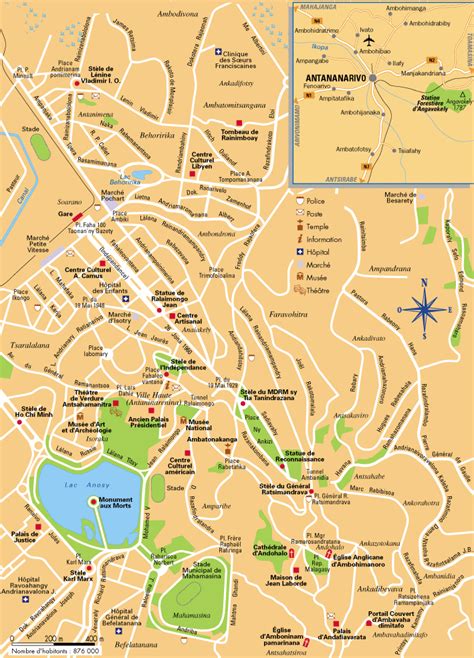
The city is now managed by the Commune Urbaine d’Antananarivo (CUA) under the direction of its President of the Special Delegation, Ny Havana Andriamanjato, appointed in March 2014. Limited funds and mismanagement have hampered consecutive CUA efforts to manage overcrowding and traffic, waste management, pollution, security, public water and electricity, and other challenges linked to explosive population growth. Major historic landmarks and attractions in the city include the reconstructed royal palaces and the Andafiavaratra Palace, the tomb of Rainiharo, Tsimbazaza Zoo, Mahamasina Stadium, Lake Anosy, four 19th-century martyr churches, and the Museum of Art and Archaeology.