Location: Antofagasta 🌎
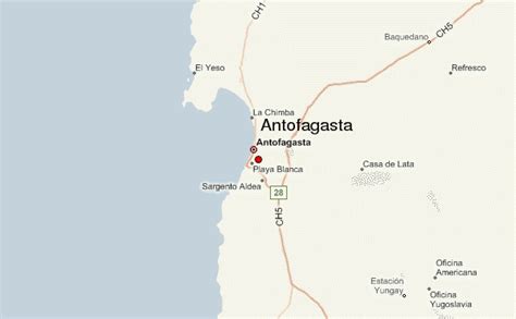
Location: Antofagasta, Chile
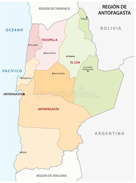
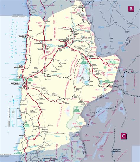
Administration Region: Antofagasta
Population: 348517
ISO2 Code: Antofagasta
ISO3 Code: CHL
Location Type: First-level Admin Capital
Latitude: -23.65
Longitude: -70.4
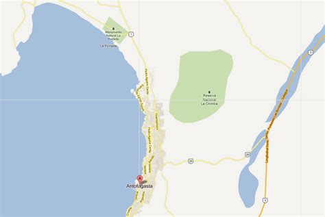
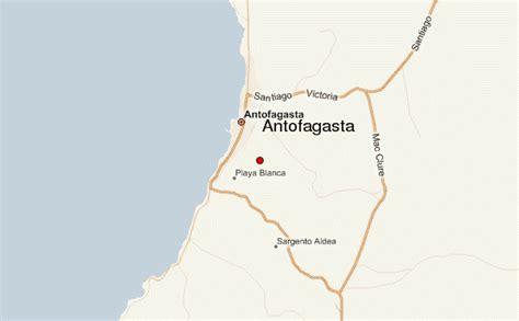
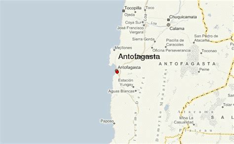
Antofagasta (Spanish pronunciation: [antofaˈɣasta] ) is a port city in northern Chile, about 1,100 kilometres (700 mi) north of Santiago. It is the capital of Antofagasta Province and Antofagasta Region. According to the 2015 census, the city has a population of 402,669.After the Spanish American wars of independence, Bolivia claimed Antofagasta as part of its territory. Despite having an overwhelmingly ethnic Chilean population, Chile recognised Bolivian sovereignty of Antofagasta in 1866, but in 1879 Chile recanted its recognition of Bolivian sovereignty citing a Bolivian breach of the latest boundary treaty. Antofagasta was captured by Chile on February 14, 1879, triggering the War of the Pacific (1879–83). Chilean sovereignty was officially recognised by Bolivia under the terms of the 1904 Treaty of Peace and Friendship.
The city of Antofagasta is closely linked to mining activity, being a port and the chief service hub for one of Chile’s major mining areas. While silver and saltpeter mining have been historically important for Antofagasta, since the mid-19th century copper mining is by far the most important mining activity for Antofagasta fueling a steady growth in the areas of construction, retail, hotel accommodations, population growth, and a remarkable skyline development until the end of the 2000s commodities boom in 2013. Since the 2010s Antofagasta is also a service hub for lithium mining.Antofagasta has the highest GDP per capita of Chile, US$37,000 and the 3rd place for Human Development Index just after Metropolitana de Santiago Region and Magallanes and Antártica Chilena Region.

Top Antofagasta HD Maps, Free Download 🗺️
Map
Maps
United States
United States
World Map
China
China
