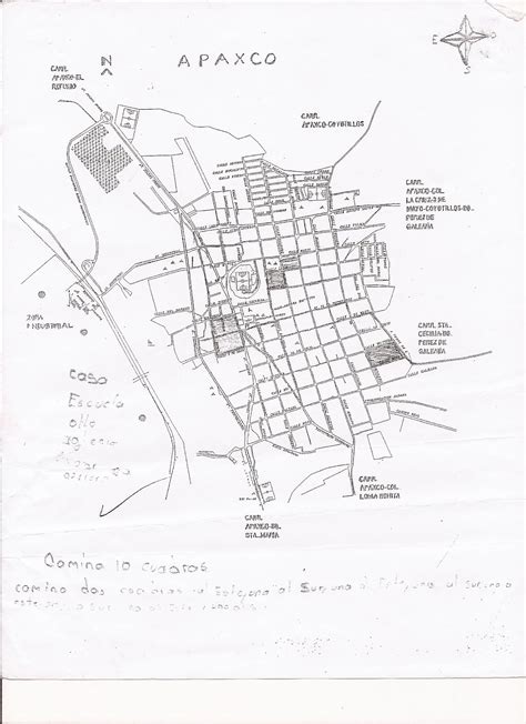
Location: Apaxco de Ocampo 🌎
Location: Apaxco de Ocampo, Mexico
Administration Region: Hidalgo
Population: 27521
ISO2 Code: Hidalgo
ISO3 Code: MEX
Location Type: Lower-level Admin Capital
Latitude: 19.98
Longitude: -99.17
Apaxco is a municipality located in the Zumpango Region (northeastern part of the State of Mexico) in Mexico. The municipal territory is located at a southern pass leading out of the Mezquital Valley about 288 km (179 mi) northeast of the state capital of Toluca. The name Apaxco comes from Nahuatl (meaning “place of the water fall”).The municipality, founded on October 16, 1870, covers an area of 80.34 square kilometres (31.02 sq mi). Apaxco de Ocampo is a municipal seat, and is a border city with Vito and El Refugio (between the State of Mexico and the State of Hidalgo; inside of Cuenca cementera). It is an important area for the building industry, although it has ecological problems.
Top Apaxco de Ocampo HD Maps, Free Download 🗺️
Map
Maps
United States
United States
World Map
China
China
