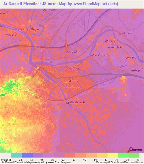
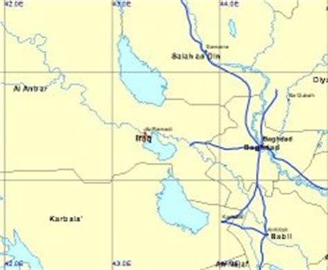
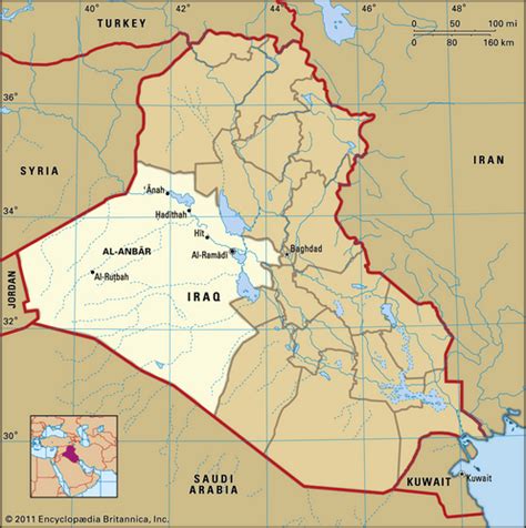
Location: Ar Ramādī 🌎
Location: Ar Ramādī, Iraq
Administration Region: Al Anbār
Population: 874543
ISO2 Code: Al Anbār
ISO3 Code: IRQ
Location Type: First-level Admin Capital
Latitude: 33.4258
Longitude: 43.2992
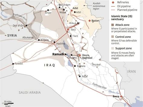
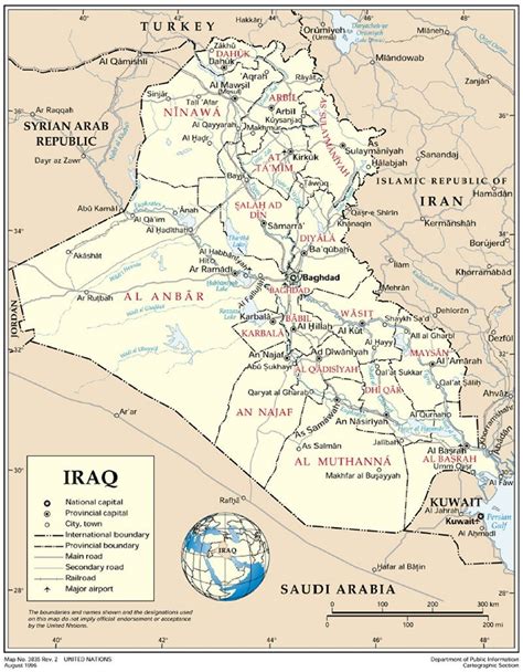
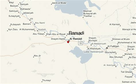
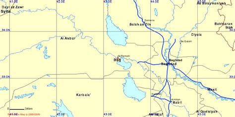
Ramadi (Arabic: ٱلرَّمَادِي Ar-Ramādī; also formerly rendered as Rumadiyah or Rumadiya) is a city in central Iraq, about 110 kilometers (68 mi) west of Baghdad and 50 kilometers (31 mi) west of Fallujah. It is the capital and largest city of Al Anbar Governorate which touches on Syria, Jordan and Saudi Arabia. The city extends along the Euphrates which bisects Al Anbar. Founded by the Ottoman Empire in 1879, by 2018 it had about 223,500 residents, near all of whom Sunni Arabs from the Dulaim tribal confederation. It lies in the Sunni Triangle of western Iraq.
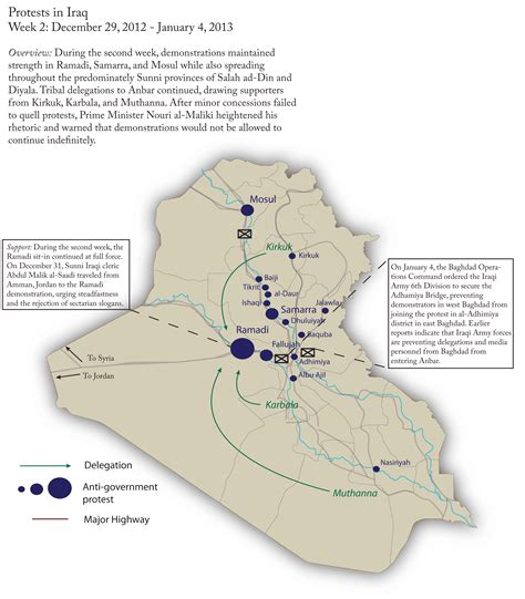
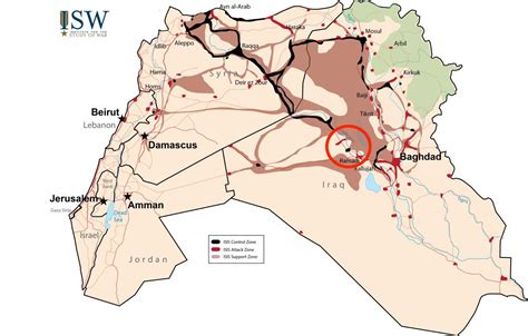
Ramadi occupies a highly strategic site on the Euphrates and the road west into Syria and Jordan. This has made it a hub for trade and traffic, from which the city gained significant prosperity. Its position has meant that it has been fought over several times, during the two World Wars and again during the Iraq War and Iraqi insurgency. It was heavily damaged during the Iraq War, when it was a major focus for the insurgency against occupying United States forces. Following the withdrawal of US forces from Iraq in 2011, the city was contested by the Iraqi government and the extremist group Islamic State of Iraq and the Levant (ISIL) and fell to ISIL in May 2015. On 28 December 2015, the Iraqi government declared, confirming media testimonies, that it had re-taken Ramadi, that government’s first major military victory since its loss.
Top Ar Ramādī HD Maps, Free Download 🗺️
Map
Maps
United States
United States
World Map
China
China
