Location: Aracaju 🌎

Location: Aracaju, Brazil Administration Region: Sergipe Population: 632744 ISO2 Code: Sergipe ISO3 Code: BRA Location Type: First-level Admin Capital Latitude: -10.9167 Longitude: -37.05
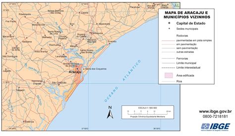
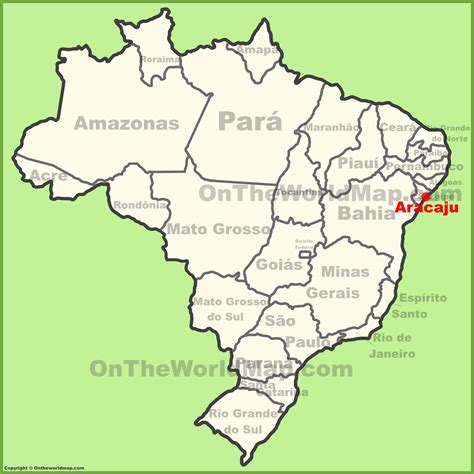
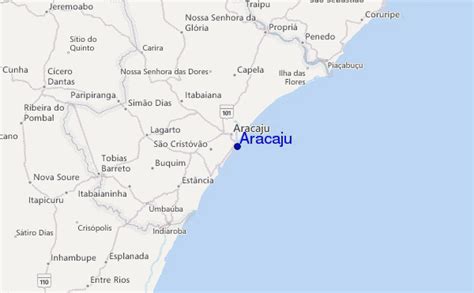
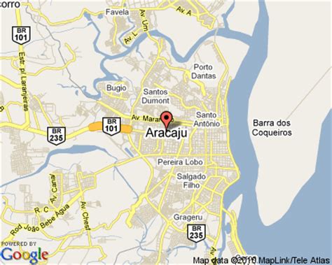
Aracaju (Portuguese pronunciation: [aɾakaˈʒu]) is the capital of the state of Sergipe, Brazil, located in the northeastern part of the country on the coast, about 350 km (217 mi) north of Salvador. According to the 2020 estimate, the city has 664,908 inhabitants, which represents approximately 33% of the state population. Adding to the populations of the municipalities forming the Metropolitan area: Barra dos Coqueiros, Nossa Senhora do Socorro and São Cristóvão. Its Metropolitan Cathedral Nossa Senhora da Conceiçao, dedicated to Our Lady of Immaculate Conception, is the archiepiscopal see of the Roman Catholic Archdiocese of Aracaju.
Aracaju Download Free HD Maps, Regions and Roads (Images & PDFs)

Top Aracaju HD Maps, Free Download 🗺️

Map
Maps
United States
United States
World Map
China
China
Alagoas, Aracaju Sergipe, Aracaju, Aracaju, Brazil
2135 x 1242px
Aracaju, Brazil
Goiania Brazil, Sergipe Brasil, Brazil, Aracaju, Brazil
2000 x 2000px
Aracaju, Brazil
Cidade De Uto, Cities In Brazil, Sergipe, Aracaju, Brazil
600 x 371px
Aracaju, Brazil
Aracaju, Brazil Tide Station Location Guide, Aracaju, Brazil, Recife Brasil, Northeast Brazil
600 x 371px
Aracaju, Brazil
Aracaju Brazil Map, Aracaju, Brazil, Aracaju Imagens, Cidade De Uto
415 x 332px
Aracaju, Brazil