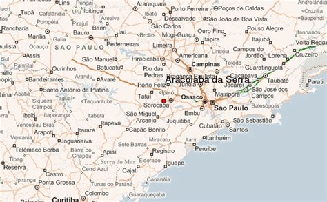
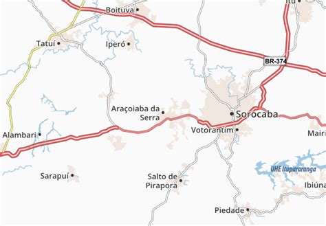
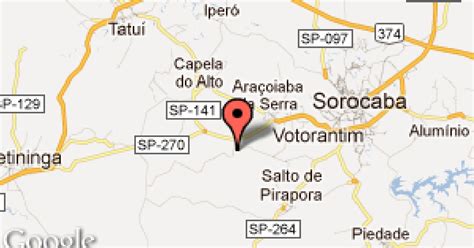
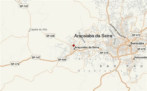
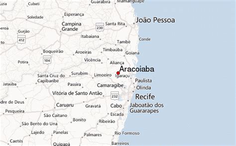
Location: Araçoiaba da Serra 🌎
Location: Araçoiaba da Serra, Brazil Administration Region: São Paulo Population: 31321 ISO2 Code: São Paulo ISO3 Code: BRA Location Type: Latitude: -23.5053 Longitude: -47.6142
Araçoiaba da Serra is a city in the state of São Paulo in Brazil. It is part of the Metropolitan Region of Sorocaba. The population is 34,776 (2020 est.) in an area of 255.33 km². The elevation is 625 m. The name Araçoiaba comes from the Tupi language, meaning “hider of the sun”. This name comes from a single mountain nearby that the natives noted hid the sun as it set in the area.
Top Araçoiaba da Serra HD Maps, Free Download 🗺️
Map
Maps
United States
United States
World Map
China
China