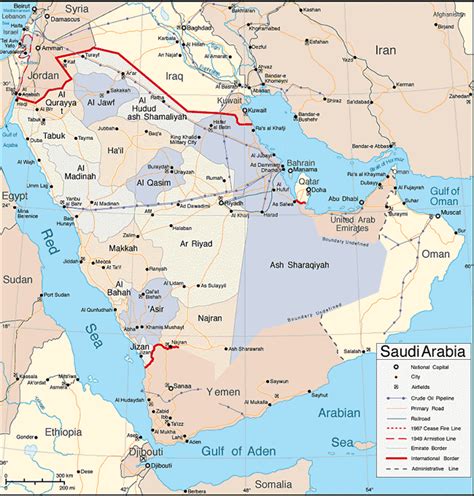
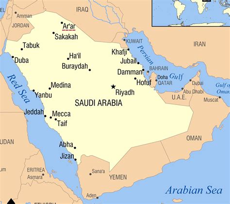
Location: Arar 🌎
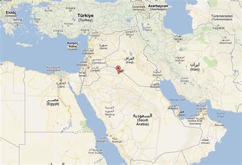
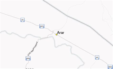
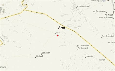
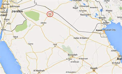
Location: Arar, Saudi Arabia
Administration Region: Al Ḩudūd ash Shamālīyah
Population: 27449
ISO2 Code: Al Ḩudūd ash Shamālīyah
ISO3 Code: SAU
Location Type: First-level Admin Capital
Latitude: 30.9833
Longitude: 41.0167
Arar (Arabic: عرعر ʿArʿar [ˈʕarʕar]) is the capital of Northern Borders Province in Saudi Arabia. It has a population of 145,237 (2004 census).Arar is located in northern Saudi Arabia near the Iraqi border. It is known for its fertile pasture lands which lends itself well to its principal occupation of sheep and camel herding. The population of the entire Northern Borders Province, including the cities of Rafha, Turayf and Alaoiqilah and suburban villages and their inhabitants, was 320,524 at the 2010 census. Arar serves as a significant supply stop for travelers on the Saudi Arabian highway 85.

Top Arar HD Maps, Free Download 🗺️
Map
Maps
United States
United States
World Map
China
China
