Location: Armavir 🌎
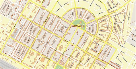
Location: Armavir, Armenia
Administration Region: Armavir
Population: 38635
ISO2 Code: Armavir
ISO3 Code: ARM
Location Type: First-level Admin Capital
Latitude: 40.15
Longitude: 44.04
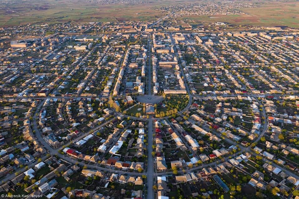
Armavir (Armenian: Արմավիր), is a town and urban municipal community located in the west of Armenia serving as the administrative centre of Armavir Province. It was founded in 1931 by the government of the Armenian Soviet Socialist Republic. As of the 2011 census, the population of the town is 29,319, declined from 46,900 reported at the 1989 census. Currently, the town has a population of 37,053 as per the 2019 official estimate.The town was known as Sardarabad before 1935, and Hoktemberyan from 1935 to 1995. Currently, Armavir is the seat of the Diocese of Armavir of the Armenian Apostolic Church.

Top Armavir HD Maps, Free Download 🗺️
Map
Maps
United States
United States
World Map
China
China


